print, engraving
# print
#
landscape
#
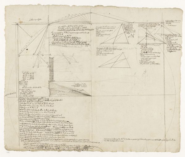
geometric
#
line
#
engraving
Dimensions: height 229 mm, width 385 mm
Copyright: Rijks Museum: Open Domain
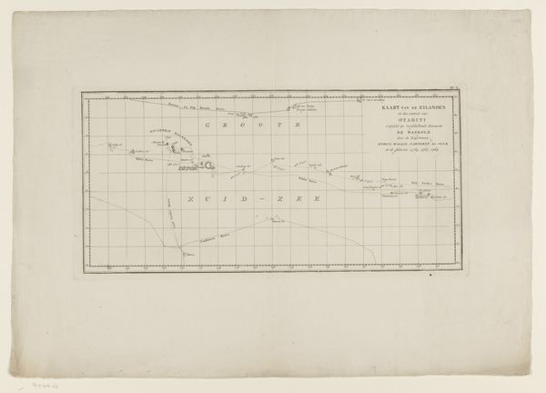
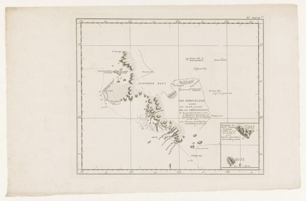
This undated map, titled ‘Kaart van Zuid-Georgia en de Zuidelijke Sandwicheilanden’, presents a stark yet intricate depiction of geographic discovery. Executed with fine lines and minimal shading, the work emphasizes structure and form over representational depth, creating a balance between scientific precision and aesthetic presentation. Notice how the linear quality dominates the composition. The coastlines of South Georgia and the Sandwich Islands are delineated with a crisp, unwavering line, contrasting with the blank expanse of the surrounding ocean. This use of line not only defines physical boundaries, but also creates a visual hierarchy, drawing attention to the contours of the landmasses. The map's formal restraint reflects the Enlightenment’s emphasis on empirical observation and rational classification. Yet, by reducing complex geographic features to simple lines and textual annotations, the map also reveals the inherent abstraction involved in representing the world. It challenges our perception of reality by offering a simplified, structured interpretation of space. This interplay between representation and abstraction underscores how even seemingly objective documents are laden with subjective choices.
Comments
No comments
Be the first to comment and join the conversation on the ultimate creative platform.
More like this