drawing, print, paper, ink, engraving
#
drawing
#
neoclacissism
# print
#
landscape
#
paper
#
ink
#
geometric
#
orientalism
#
history-painting
#
engraving
Dimensions: height 200 mm, width 171 mm
Copyright: Rijks Museum: Open Domain
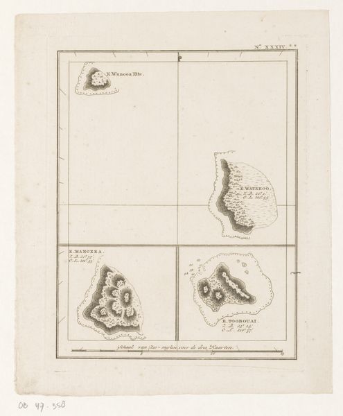
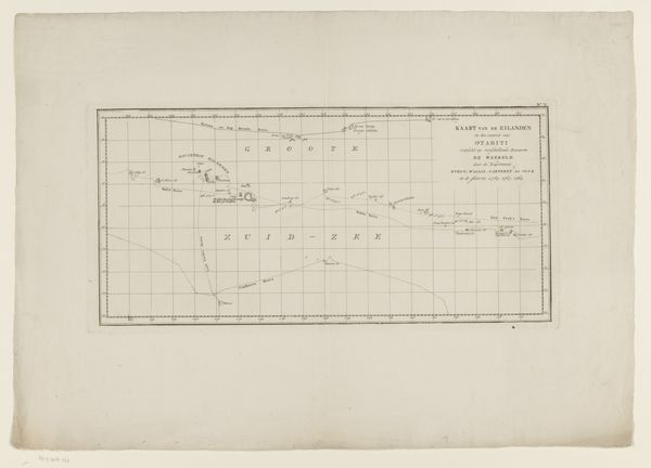
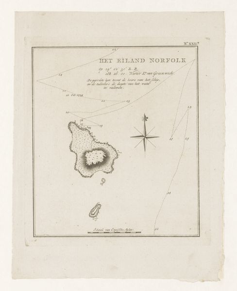
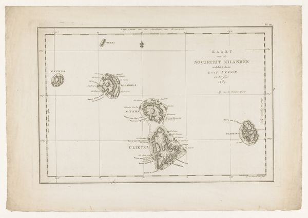
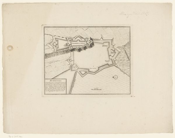
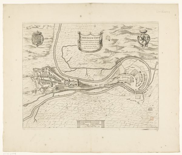
This is an anonymous map of the Marquesas Islands in the Pacific Ocean, created sometime in the early modern period. At first glance, it's an attempt at objective representation, but maps like these were powerful tools of colonial expansion. Consider the image itself: the careful rendering of coastlines, the naming of islands like "La Dominica," and the notes on harbors. This isn't just about geography; it's about claiming territory and facilitating trade, and possibly military action. The language, Dutch, immediately tells us the origin of the map. The Dutch were major players in global trade and colonization, and this map reflects their interest in the Pacific. To fully understand this map, we might consult the records of the Dutch East India Company, travelogues of explorers, and studies of colonial history. The power of such maps lies not just in their accuracy, but in their role in shaping our understanding and control of the world.
Comments
No comments
Be the first to comment and join the conversation on the ultimate creative platform.
More like this