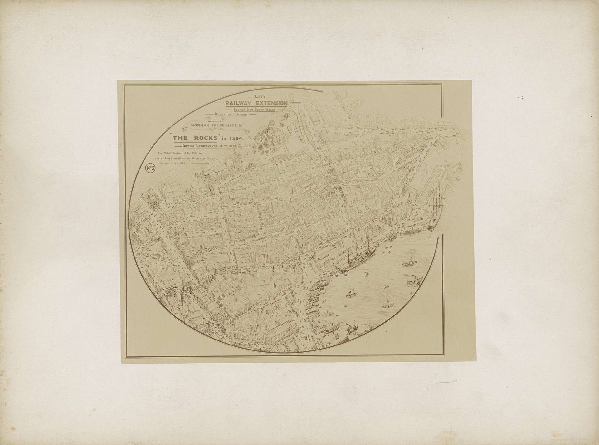
c. 1894
Fotoreproductie van (vermoedelijk) een prent van een plattegrond met een geplande stadsuitbreiding ('The Rocks') van Sydney in 1894
Listen to curator's interpretation
Curatorial notes
This is a photoprint, made in 1894, of a drawing showing a proposed expansion of The Rocks district in Sydney. It's an anonymous work, but we can tell a lot about it just by looking at how it was made. Photoprinting was a relatively new technology at the time, making it easier and cheaper to reproduce images like this one. The crisp lines suggest the original drawing was likely made with ink, perhaps using tools like rulers and compasses for precision. Look closely and you'll see a detailed representation of buildings, streets, and even ships in the harbor. This level of detail speaks to the skill and time involved in the drafting process. The social context here is crucial. This plan represents a moment of urban development, driven by economic forces. The proposed "railway extension" tells us about the importance of infrastructure and trade to the growing city. This image isn't just a map; it's a document of ambition, labor, and the shaping of urban space. It's a reminder that even seemingly technical drawings have deep cultural meaning.