print, engraving
# print
#
old engraving style
#
landscape
#
geometric
#
islamic-art
#
engraving
Dimensions: width 420 mm, height 550 mm
Copyright: Rijks Museum: Open Domain
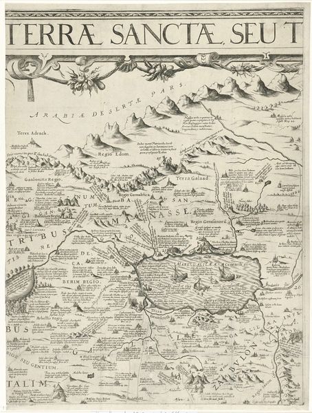
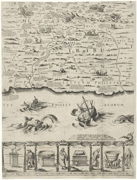
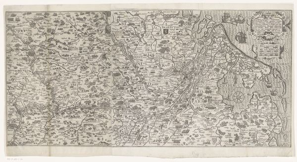
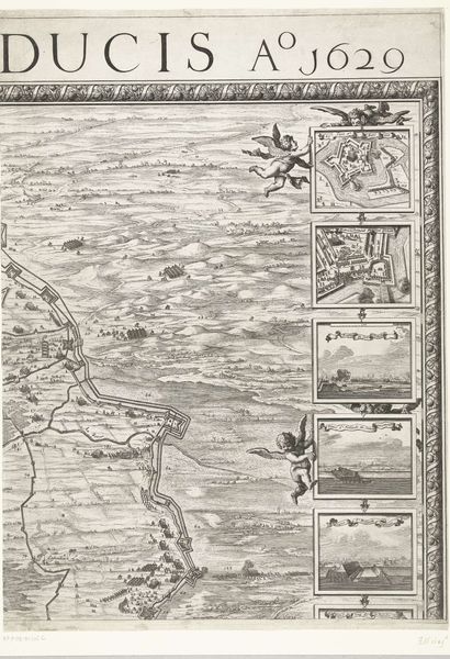
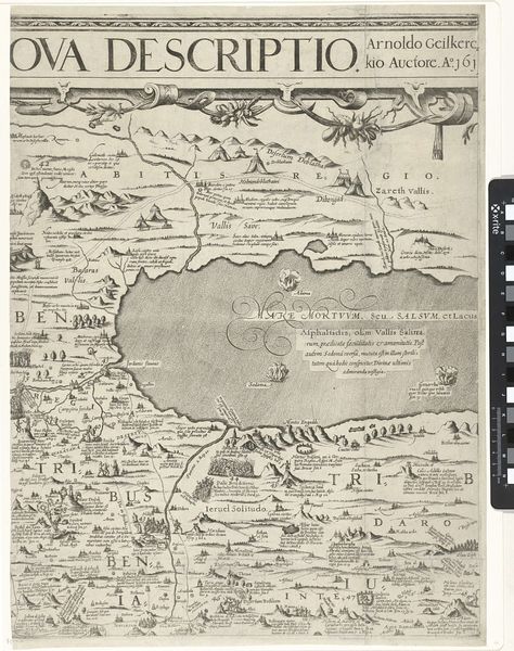
Nicolaes van Geelkercken created this map of Palestine, or the “Promised Land,” through engraving, a printmaking process dependent on the division of labor. The original drawing would have been incised into a metal plate, likely copper, by a highly skilled artisan using specialized tools called burins. The network of lines you see, defining topography and lettering, would each have been manually cut. The plate was then inked, and the excess wiped away, leaving ink only in the engraved lines. Finally, the plate would have been pressed onto paper, transferring the image. Consider the number of impressions that could be made from a single plate, enabling mass distribution. The technology involved represents an early stage of industrialization; the division of labor, skilled and unskilled, necessary to its production; and the wide distribution of the final product, all tie into wider social issues of labor, politics, and consumption.
Comments
No comments
Be the first to comment and join the conversation on the ultimate creative platform.
More like this