print, engraving
# print
#
old engraving style
#
landscape
#
history-painting
#
northern-renaissance
#
engraving
Dimensions: height 375 mm, width 492 mm
Copyright: Rijks Museum: Open Domain
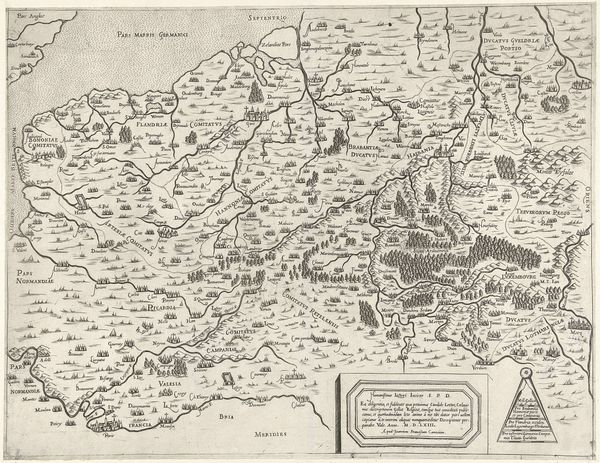
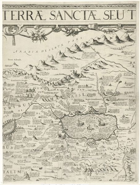
This map of Belgium was made in 1558 by Sebastiano di Re. Look at the mountains that mark the regions; they are not merely geographical features but are symbols of stability and permanence. Mountains have always been powerful motifs, evoking a sense of awe and the sublime. Consider the ziggurats of ancient Mesopotamia, architectural mountains representing the connection between earth and the divine. Here, the mountains on the map serve a similar symbolic function, representing the enduring spirit and identity of the regions they define. Think of the Renaissance, where pyramidal structures in paintings draw the eye heavenward, just as these cartographic mountains guide our understanding of space and place. This persistent human impulse to define our world through symbols, shapes, and structures suggests a deeply ingrained psychological need for orientation and meaning. The cultural memory encoded in this map, and the collective psyche that produces and interprets it, invites us to reflect on the emotional landscape underlying our geographical representations.
Comments
No comments
Be the first to comment and join the conversation on the ultimate creative platform.
More like this