print, engraving
#
dutch-golden-age
#
mechanical pen drawing
# print
#
pen illustration
#
pen sketch
#
old engraving style
#
landscape
#
personal sketchbook
#
pen-ink sketch
#
pen work
#
sketchbook drawing
#
cityscape
#
history-painting
#
storyboard and sketchbook work
#
sketchbook art
#
engraving
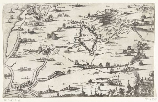
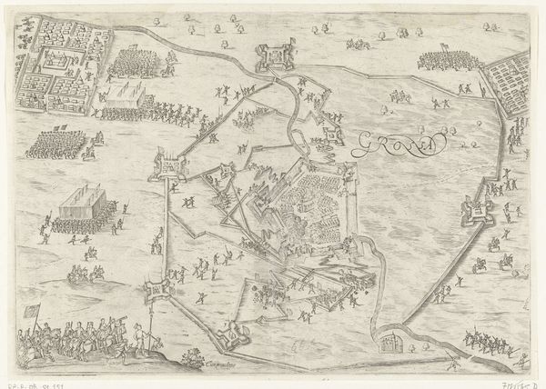
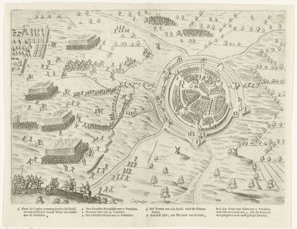
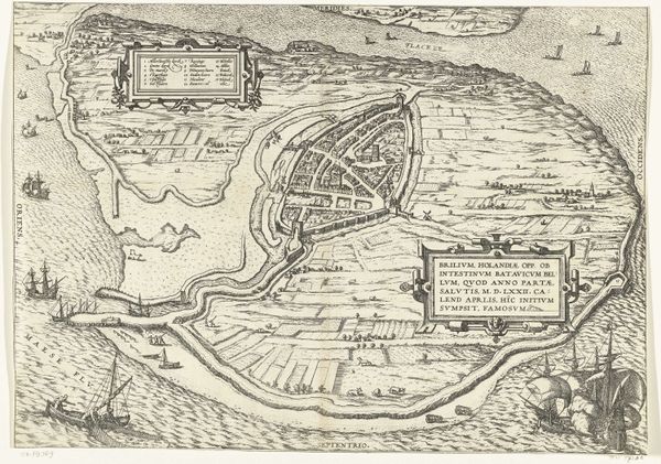
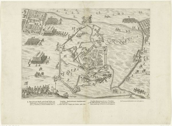
Dimensions: height 300 mm, width 385 mm
Copyright: Rijks Museum: Open Domain
This is an anonymous map from 1644, documenting the siege and capture of Gravelines. Images like this, produced in the Netherlands during its Golden Age, were more than just geographical records. They served as potent symbols of national pride and commercial prowess. Look closely at how the image creates meaning. The detailed depiction of fortifications and naval vessels isn't just about accuracy; it's a display of Dutch military and technological might. Consider the cultural context: the 17th-century Netherlands was a hub of cartography, driven by its booming trade and colonial ambitions. The map subtly reinforces Dutch dominance on the seas and in global commerce. Understanding this artwork requires research into the history of Dutch cartography, military strategy, and economic expansion. Ultimately, this map reveals how art and imagery were deeply intertwined with the social, political, and economic forces of their time.
Comments
No comments
Be the first to comment and join the conversation on the ultimate creative platform.
More like this