print, engraving
# print
#
geometric
#
15_18th-century
#
engraving
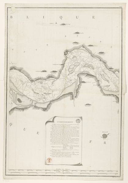
Dimensions: height 390 mm, width 800 mm
Copyright: Rijks Museum: Open Domain
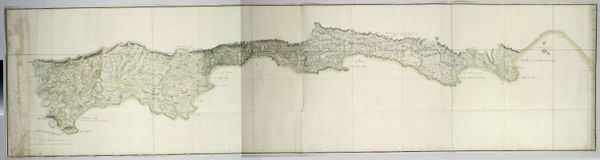
This map, made around 1799, meticulously documents flood damage in the Netherlands. Though the artist is unknown, we can still consider the artistry involved in its creation. The printmaking process would have begun with an incised design, likely on a copper plate. This would then be inked and pressed onto paper. Look closely, and you'll see the crisp lines and delicate hatching that define the topography, waterways, and settlements. The very act of mapping transforms chaotic reality into a systemized, understandable form. Mapping then, can be understood as a creative intervention, similar to other art practices. But it also has a clear economic context: enabling land management and reflecting control over territory. This work stands as an eloquent testament to human agency—our ability to both record and reshape the world around us.
Comments
No comments
Be the first to comment and join the conversation on the ultimate creative platform.
More like this