drawing, print, paper, ink, engraving
#
drawing
#
neoclacissism
#
aged paper
#
toned paper
#
ink paper printed
# print
#
landscape
#
paper
#
personal sketchbook
#
ink
#
geometric
#
ink colored
#
pen and pencil
#
pen work
#
sketchbook drawing
#
watercolour illustration
#
sketchbook art
#
engraving
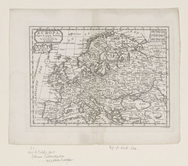
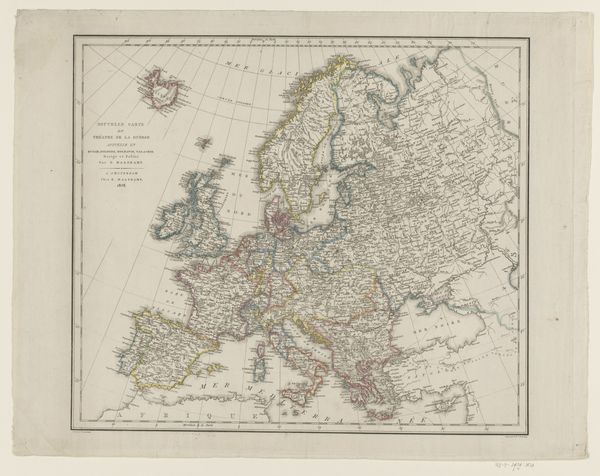
Dimensions: height 186 mm, width 230 mm
Copyright: Rijks Museum: Open Domain
Curator: This is an intriguing print titled "Kaart van Europa," dating back to 1774. It's crafted from ink and engraving on paper. Editor: It’s so delicate. The aged paper gives it a wistful feel. Almost ghostly. There is something vulnerable about the outlines. Curator: Maps, of course, are never neutral. They embody political ideology and cultural perspectives, even something as seemingly objective as a continent's boundaries. This map was created on the cusp of revolutions that would redraw not just political lines but social and economic realities too. What does it say about who controls and has access to these boundaries? Editor: Looking at the detailed coastlines, and then the blocky, almost symbolic rendering of mountain ranges… I see a world still rooted in classical cartography but leaning toward the enlightenment. Each geographical element seems almost allegorical, less about strict accuracy and more about conveying Europe’s idea of itself. How very “European,” to build that narrative. Curator: Precisely! Notice how the waterways snake through the land? Waterways were crucial arteries for trade and military movements and are so prominently displayed here. Reflect on how access to trade would shift colonial powers as revolutionary and independence movements took hold in North and South America in this time period. Editor: Also consider that geographic representation, like this map, often carries deep psychological weight. Islands are cultural containers. Seas might divide or connect depending on sociopolitical moments. Cartography has never just been about direction; it is about conveying complex ideas through seemingly simple form. Curator: Maps often served as a projection of power and knowledge during this time. This map, created during the height of European expansion, must be considered alongside a broader awareness of Europe’s influence and the concurrent subjugation of colonized nations. Editor: That’s well said. Even through what feels like a quiet, classical design, echoes of cultural assumptions, social hierarchy, and even imminent change, can be seen across its surface. Curator: Absolutely. Examining the map this way urges us to ask crucial questions about perspective, authority, and the stories we choose to tell—or, perhaps more crucially, those we leave out.
Comments
No comments
Be the first to comment and join the conversation on the ultimate creative platform.
More like this