Dimensions: height 147 mm, width 175 mm
Copyright: Rijks Museum: Open Domain
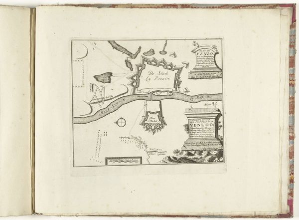
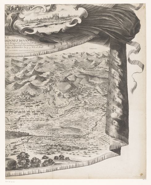
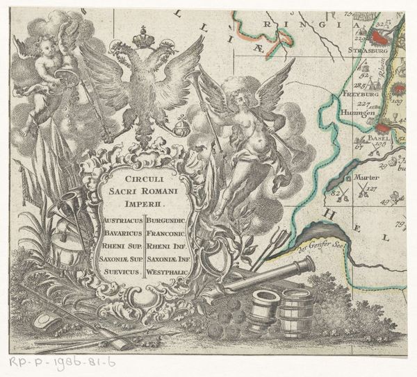
Curator: This engraving, "Kaart van Nederland," was created in 1823 by C. Thierry. Its creation coincides with the period shortly after the end of the Napoleonic wars, a time of significant geopolitical reshaping in Europe. What catches your eye? Editor: The first thing that strikes me is the almost overwhelming density of symbolic imagery surrounding the map itself. It's a powerful statement, not just depicting geography, but weaving it into a tapestry of cultural and historical identity. Curator: Indeed. Let’s delve into that density. Note the military emblems on the left juxtaposed with emblems related to trade on the other side, with items such as the anchor, spear, and musical instrument versus the crane, bricks, and animal head. Editor: Absolutely, this could be a representation of the young country after the Napoleonic period building itself as it grows within continental Europe after an era of warring with neighbors. The items seem to create something that is more than just physical space but also its historical moment, too. The symbolism acts as a form of cultural memory. Curator: Looking at the map, we should acknowledge that this visualization of “the Netherlands” includes the territory that is today Belgium, which speaks volumes about nation-building and political imaginations of the early 19th century. It reminds us how "nations" are not natural but constructed entities. How are our own conceptions shaped by contemporary cartography? Editor: Maps can serve as potent symbols in themselves, reflecting both perceived and aspired-to realities of political and cultural unity. It seems as though "Pays Bas" carries this sort of symbolic intention for Thierry. Considering that maps hold cultural importance in today’s world, I am still unsure whether the current popular usage is positive or negative. Curator: Maps inevitably carry social and political messages, reinforcing dominant narratives but sometimes also offering opportunities for marginalized perspectives. Thank you for offering a view into the visual symbolism of this work; that deeper understanding certainly helps appreciate how complex seemingly simple geographical images are. Editor: Likewise, your analysis underscores the power dynamics embedded in representation. Together, those elements illustrate the broader socio-political context.
Comments
No comments
Be the first to comment and join the conversation on the ultimate creative platform.
More like this