Buenos Aires, from "Court Game of Geography" 1838 - 1855
0:00
0:00
drawing, print, paper, engraving
#
drawing
# print
#
paper
#
geometric
#
orientalism
#
academic-art
#
engraving
Dimensions: 3 3/4 × 2 1/2 in. (9.5 × 6.4 cm)
Copyright: Public Domain
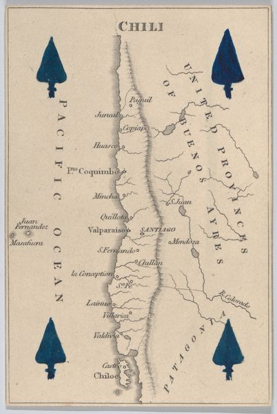
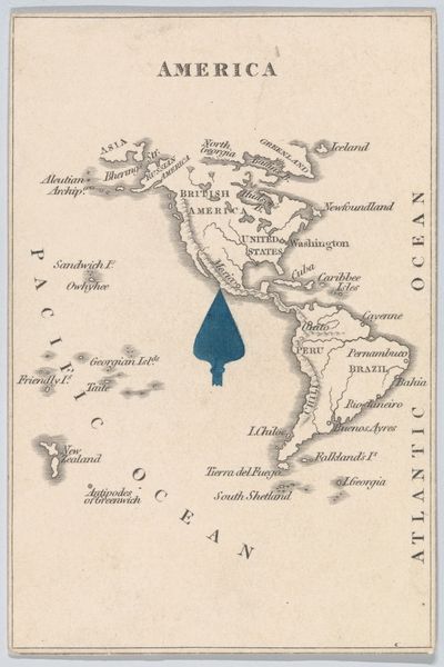
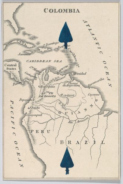
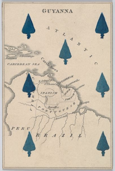
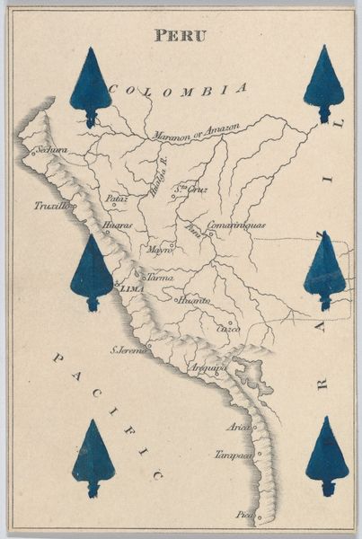
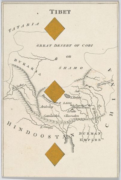
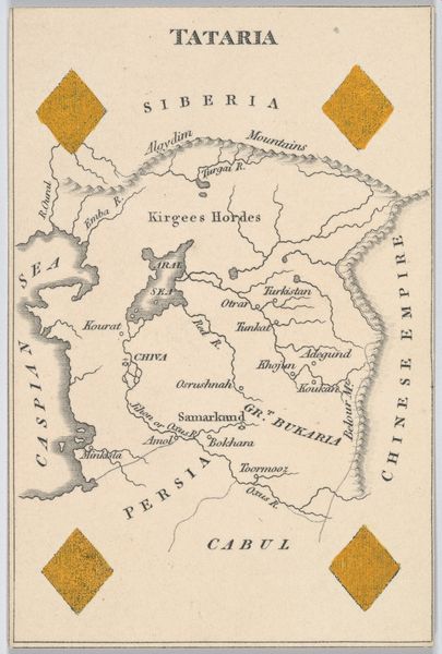
This card, "Buenos Aires, from Court Game of Geography" was produced by William and Henry Rock in the 19th century. It's a lithograph, a printmaking technique that allowed for the relatively quick and cheap reproduction of images. The card, part of a geography game, represents Argentina, but not as a neutral depiction. Consider the context: a European, or North American, audience playing a game centered around geography, but also around empire and conquest. The prominent blue arrows overlaid on the map, these could represent strategic advantages, military occupation, or colonial interests. The map is not just a tool for learning, but a statement of power. To truly understand this image, we need to dig into the social and institutional history. What was the role of geography in shaping colonial ambitions? How were games used to socialize children into accepting the ideologies of empire? By exploring these questions, we can start to unpack the complex politics embedded in this seemingly simple card.
Comments
No comments
Be the first to comment and join the conversation on the ultimate creative platform.
More like this