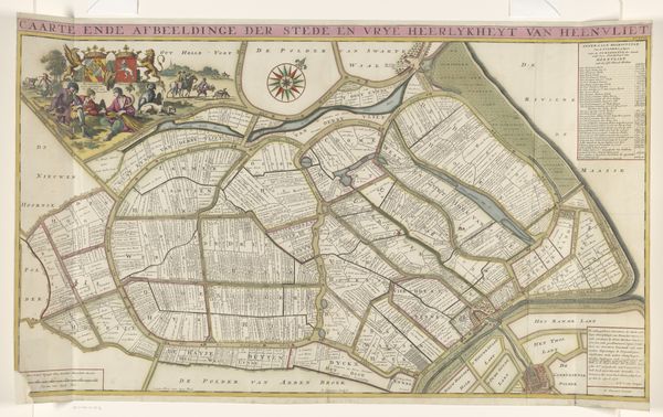
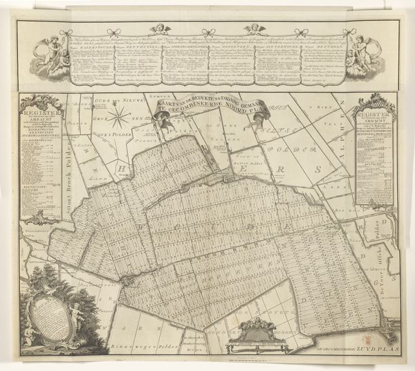
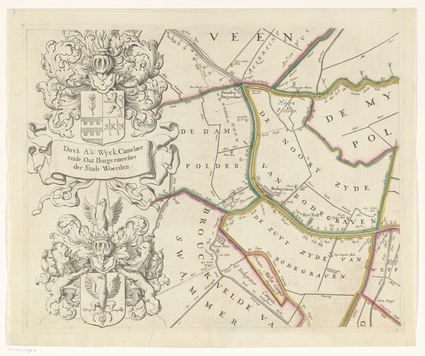
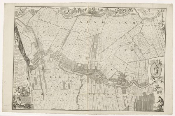
Kaart van het Hoogheemraadschap van de Krimpenerwaard, bestaande uit twaalf delen 1683
0:00
0:00
johannesleupenius
Rijksmuseum
graphic-art, print, etching, engraving
#
graphic-art
#
pen drawing
#
dutch-golden-age
# print
#
etching
#
old engraving style
#
landscape
#
etching
#
pen-ink sketch
#
line
#
pen work
#
engraving
Dimensions: height 1400 mm, width 2071 mm
Copyright: Rijks Museum: Open Domain
Curator: Let's turn our attention to a rather fascinating print: Johannes Leupenius' "Map of the High Water Board of the Krimpenerwaard, consisting of twelve parts," dating back to 1683. It's an intricate engraving detailing a specific region in the Netherlands. Editor: Immediately, I'm struck by how meticulously everything is laid out. The map appears almost like a puzzle of neatly arranged compartments, doesn't it? There is also a hierarchy of symbols throughout the piece. Curator: Precisely. This work isn't merely about geographic accuracy. Consider the socio-political context. The High Water Board, or Hoogheemraadschap, held immense power. They were responsible for land management, water control— vital in the low-lying Netherlands. The map emphasizes the power and influence of these administrative bodies. Editor: Absolutely. Beyond pure information, it embodies cultural pride and technical prowess. Water management wasn't just a practical necessity, it was almost an art form and part of Dutch identity, reflected in their prosperity during the Dutch Golden Age. Look at the coats of arms running across the top. I bet those all connect back to the families with positions in the Hoogheemraadschap. Curator: Without a doubt. The visual language supports their authority, reinforcing their crucial role in shaping and maintaining the Dutch landscape. We can also observe an interesting development: in mapping, art becomes a vital political instrument of land ownership and control. It’s about spatial awareness, not just about pretty illustrations. Editor: And these cartouches add so much detail; the closer I look, the more symbolic language I discern, like the ornamental borders filled with imagery. Curator: Yes! By understanding the period, we begin to see that it's a deliberate statement about control and the imposition of order, the visualization of human mastery of the elements. It serves to make political claims explicit for the world to see. Editor: Well, now when I look at this, it's not only an informative piece of cartography; it's a potent expression of power. Curator: Exactly. By displaying information through precise images and strategic symbols, it solidified an understanding of control during this historical period.
Comments
No comments
Be the first to comment and join the conversation on the ultimate creative platform.
More like this