print, engraving
#
baroque
#
pen drawing
# print
#
old engraving style
#
ink line art
#
geometric
#
line
#
cityscape
#
history-painting
#
engraving
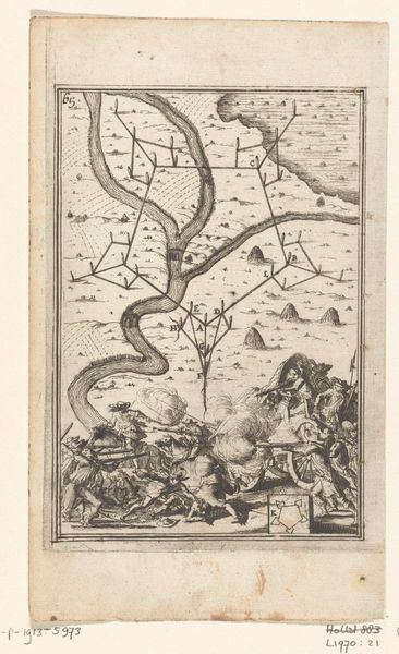
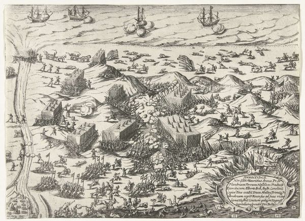
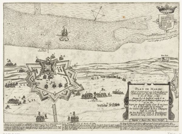
Dimensions: height 287 mm, width 395 mm
Copyright: Rijks Museum: Open Domain
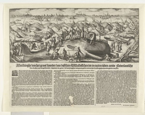
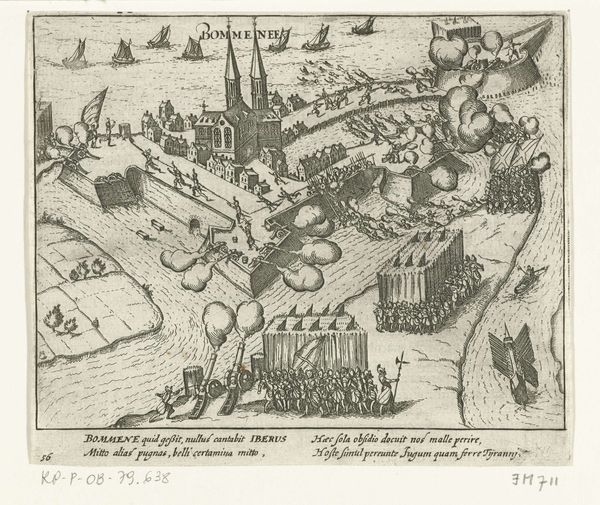
This detailed map, etched in 1702 by an anonymous hand, depicts the siege of Keizersweerd. Observe how the star-shaped fortress, a common defensive structure of the era, dominates the scene, its geometric precision a stark contrast to the organic flow of the Rhine. This star motif, with its radiating points, is not unique to military architecture; it echoes in ancient sun symbols, emblems of power and order that are deeply embedded in our collective consciousness. Recall the sunbursts adorning Renaissance portraits or the elaborate star patterns in Islamic art – each iteration carrying a charge of authority and protection. Here, the star fort's imposing presence, with its promise of security, also hints at the anxiety and strife of the times. The collective memory of past conflicts perhaps subconsciously informs the mapmaker's choice of this potent, yet inherently aggressive, symbol. The map, therefore, becomes more than just a record of siege, it is a mirror reflecting the timeless human drama of defense and conquest.
Comments
No comments
Be the first to comment and join the conversation on the ultimate creative platform.
More like this