About this artwork
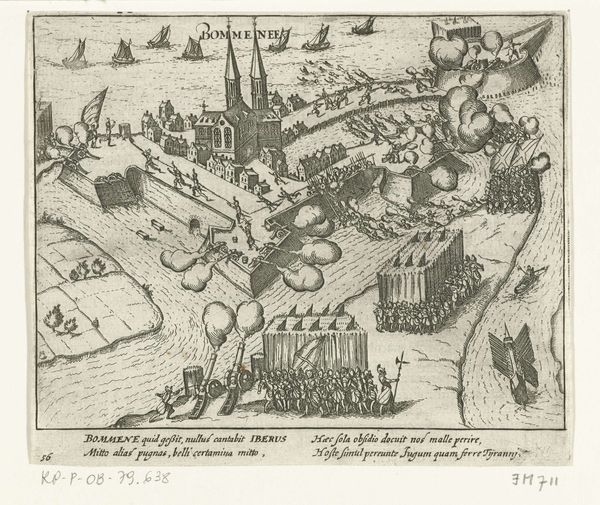
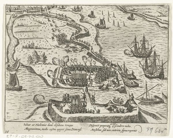
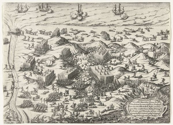
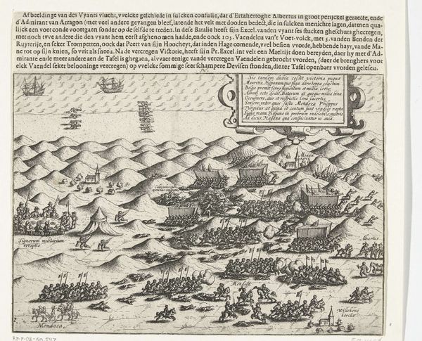
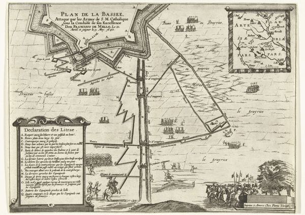
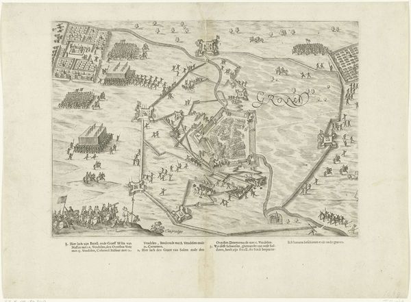
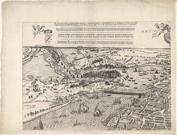
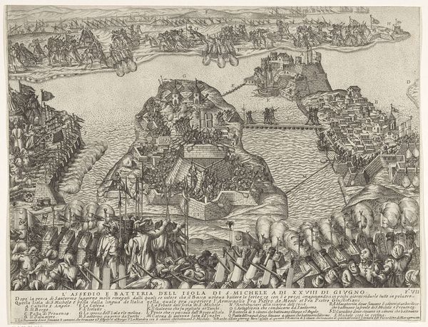
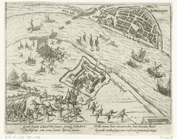
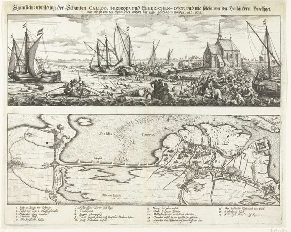
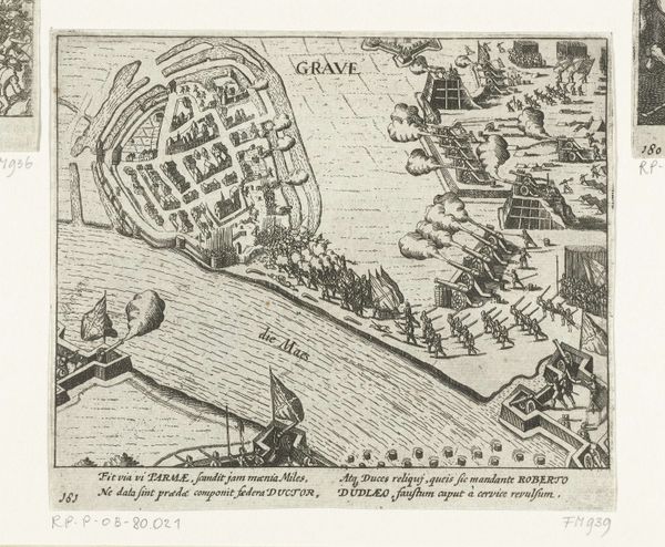
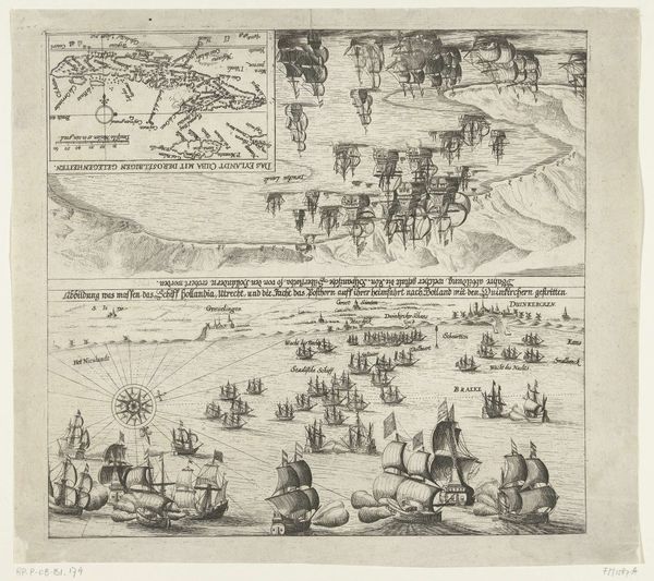
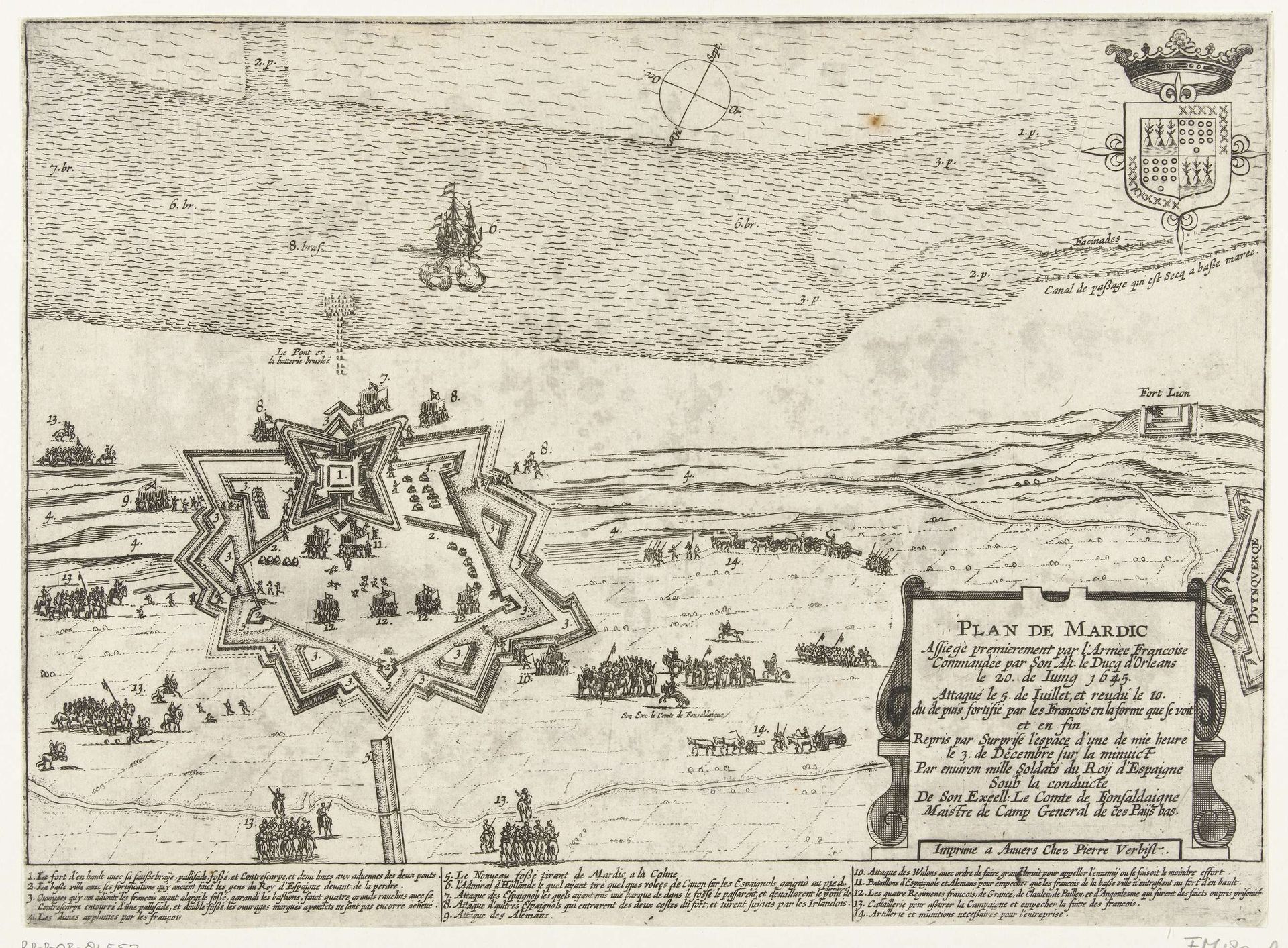
This is an engraving of Fort Mardijk, made in 1645 by an anonymous artist. It offers us a bird’s-eye view of the fort and surrounding area. But it is more than just a picture, it’s a snapshot of 17th-century geopolitics. The image’s visual codes point to the social conditions of its time. Note how the fort is rendered with geometric precision. This reflects the growing importance of military engineering in early modern Europe. France and Spain were in conflict at this time, so we can understand the Plan De Mardic, printed in French, as both a military document and a piece of national propaganda. As historians, we use various resources, like military records and period maps, to fully understand the artwork. By placing it in its social and institutional context, we can appreciate how art reflects power.
Artwork details
- Medium
- print, etching, engraving
- Dimensions
- height 236 mm, width 322 mm
- Copyright
- Rijks Museum: Open Domain
Tags
pen sketch
etching
geometric
cityscape
history-painting
engraving
Comments
No comments
About this artwork
This is an engraving of Fort Mardijk, made in 1645 by an anonymous artist. It offers us a bird’s-eye view of the fort and surrounding area. But it is more than just a picture, it’s a snapshot of 17th-century geopolitics. The image’s visual codes point to the social conditions of its time. Note how the fort is rendered with geometric precision. This reflects the growing importance of military engineering in early modern Europe. France and Spain were in conflict at this time, so we can understand the Plan De Mardic, printed in French, as both a military document and a piece of national propaganda. As historians, we use various resources, like military records and period maps, to fully understand the artwork. By placing it in its social and institutional context, we can appreciate how art reflects power.
Comments
No comments