graphic-art, print, engraving
#
graphic-art
#
baroque
# print
#
map art
#
cityscape
#
italian-renaissance
#
engraving
Dimensions: height 500 mm, width 593 mm
Copyright: Rijks Museum: Open Domain
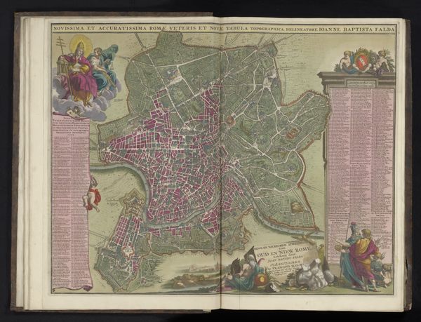
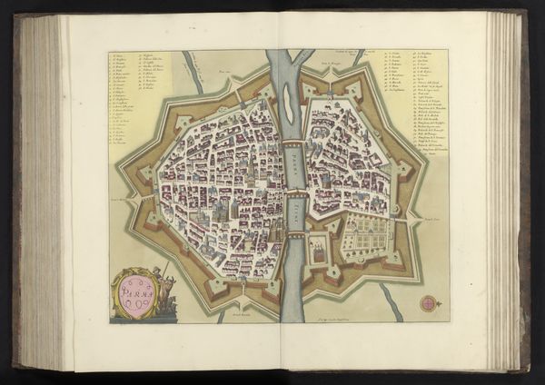
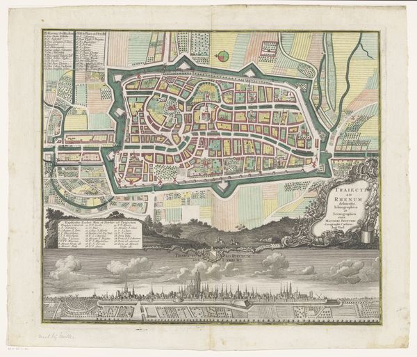
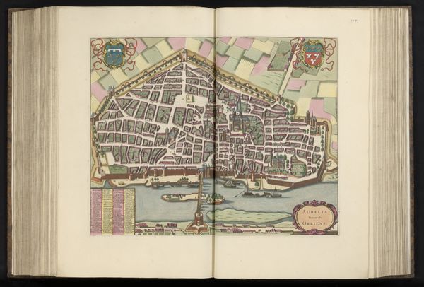
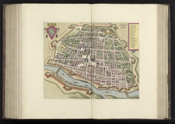
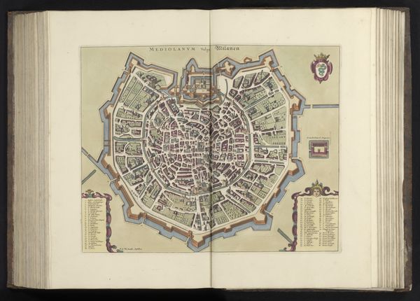
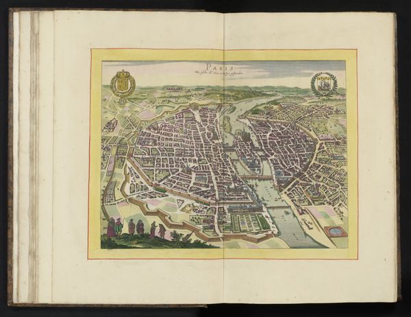
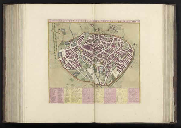
Jacob de la Feuille produced this map of Rome in the early 18th century using engraving techniques. As a visual representation of a city, it embodies not just geographical data but also cultural and political ideologies. Consider the era in which it was made. Rome, then the heart of the Papal States, was undergoing significant urban development under the patronage of the Catholic Church. Feuille’s map, with its detailed depiction of streets and buildings, served both practical and symbolic purposes, reinforcing Rome's status as a centre of power and pilgrimage. The map’s embellishments, such as heraldic symbols and allegorical figures, would have appealed to wealthy patrons and institutions. By examining historical maps like this, we can reveal much about the social and institutional contexts in which they were created. These maps, when understood within their unique historical context, can offer invaluable insights into how societies perceive themselves.
Comments
No comments
Be the first to comment and join the conversation on the ultimate creative platform.
More like this