drawing, print, paper, ink, engraving
#
drawing
# print
#
paper
#
ink
#
geometric
#
cityscape
#
genre-painting
#
engraving
Dimensions: height 394 mm, width 510 mm
Copyright: Rijks Museum: Open Domain
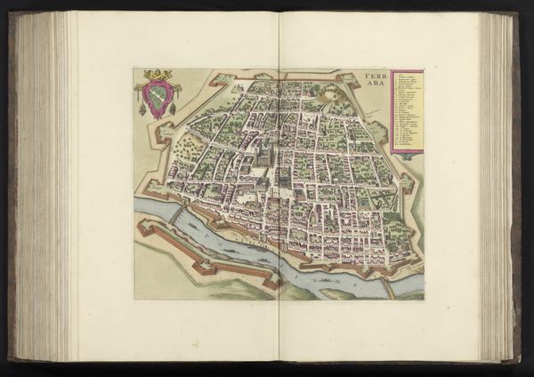
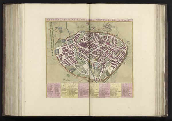
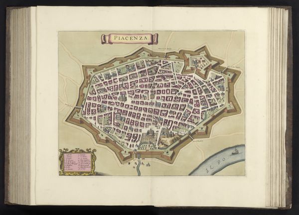
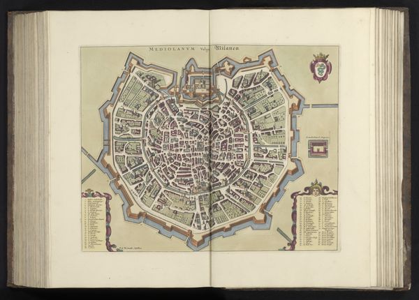
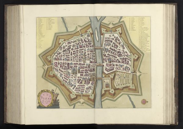
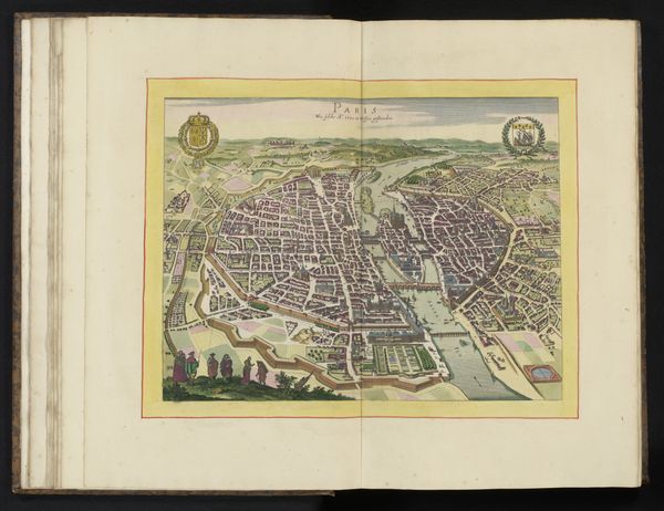
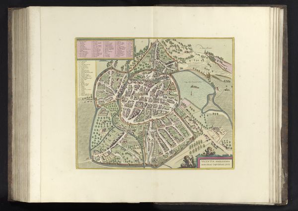
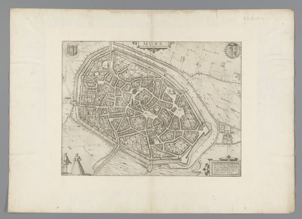
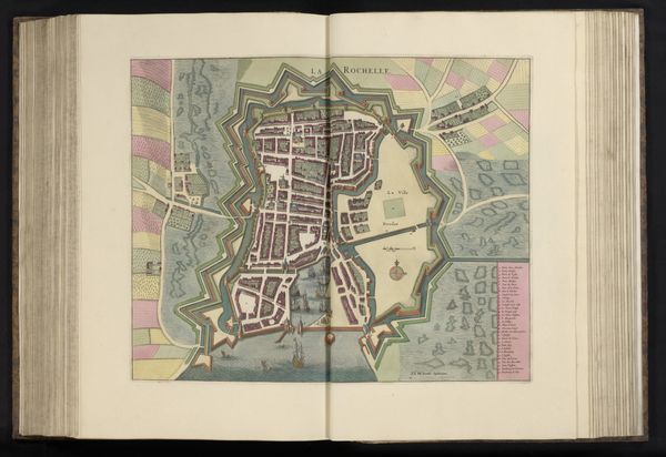
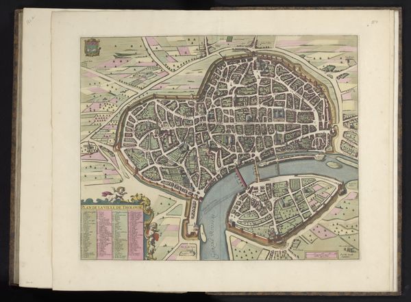
Curator: Welcome. Here we see "Plattegrond van Orléans," dating roughly between 1657 and 1690. This print, made using ink and engraving on paper, presents a detailed map of the city. Editor: My first impression is how neatly ordered it appears, almost like a carefully arranged garden, but with fortifications. There's a surprising tranquility to it. Curator: Indeed. These city plans became vital tools, commissioned by civic authorities and military strategists alike. This one reveals much about Orléans' urban planning and defensive infrastructure during a time of frequent conflicts and political maneuvering in France. We can infer that order reflected power. Editor: It’s interesting how the urban space is carved up, isn't it? The geometric shapes of buildings, roads, and walls feel very symbolic, perhaps even intended to reassure citizens of the stability offered by their rulers in that epoch. Note the two coats of arms. Curator: Absolutely, you’re keying into the civic visual language there. Each emblem carried particular meanings, broadcasting dynastic power, guild association and trade influence, or claims to the land itself. Those heraldic symbols speak volumes about the social structures that governed Orléans at the time. It gives perspective about who had political and economic capital. Editor: I also see a clear distinction between the structured interior and the freer countryside beyond the city walls. It seems less about perfectly replicating Orléans than about conveying specific information and messages. Even the pink and pale green farmland emphasizes control, a controlled vision of the surrounding land feeding this important urban space. Curator: Right. Beyond topography, this image serves to advertise the strength and sophistication of Orléans, encouraging loyalty among residents and discouraging potential enemies. The very act of mapping a city implied control and dominion, contributing to a growing sense of urban identity, particularly amongst the wealthier merchants and noble classes, eager to visually reinforce their place in French society. Editor: It’s as if this print aimed to project Orléans' idealized self-image to the world and to its own people, a self-assurance embedded in graphic representation. I feel like I understand how that era perceived urban life so much more, just by studying it for these few moments. Curator: Yes, maps of this era were complexly entwined with place-making and self-fashioning in ways we sometimes underestimate. This print shows us far more than just the layout of a city.
Comments
No comments
Be the first to comment and join the conversation on the ultimate creative platform.
More like this