print, engraving
#
baroque
# print
#
landscape
#
coloured pencil
#
cityscape
#
engraving
Dimensions: height 500 mm, width 642 mm
Copyright: Rijks Museum: Open Domain
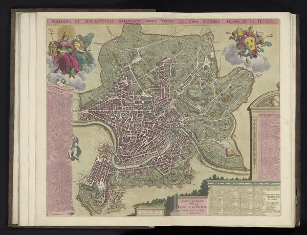
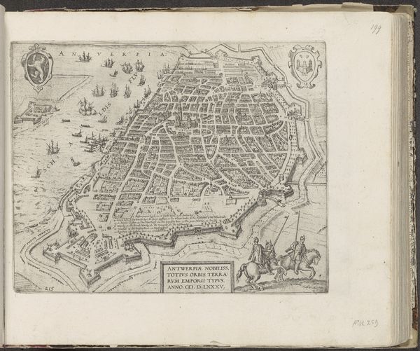
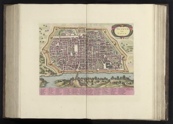
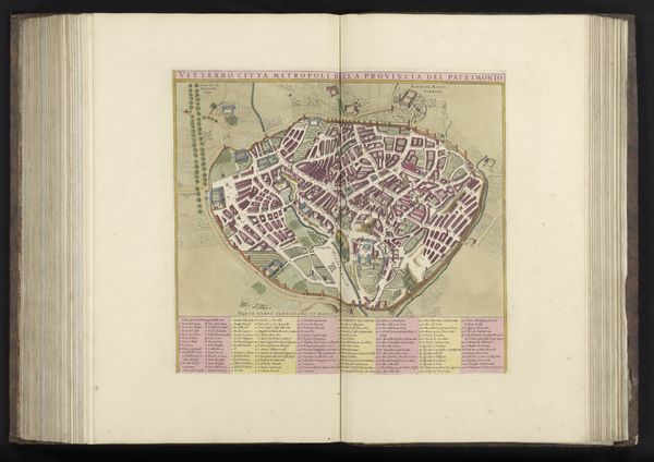
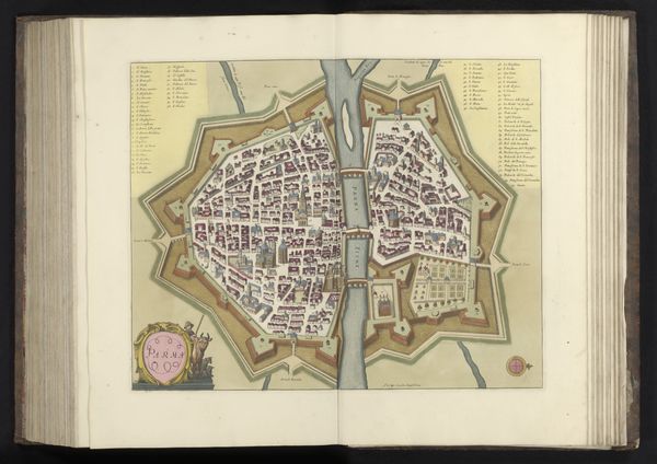
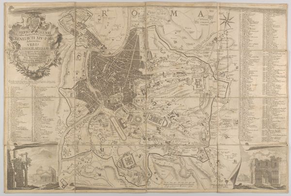
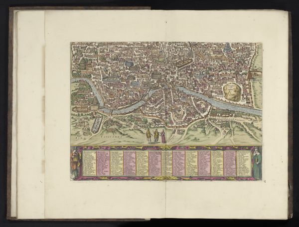
This map of Rome was made by Jan Goeree around the turn of the 18th century, using engraving and printmaking techniques. Look closely, and you'll see how the engraved lines create a dense network, mapping out the city's streets and landmarks with surprising accuracy. Each stroke required the engraver's precise hand. Imagine the labor involved in etching the image into a metal plate, then transferring the ink to paper, multiple times, to create these images. Maps like these weren't just about geography, they were tools of power and commerce. They served the political elite by showing their domain, and made possible the orchestration of military campaigns. They served a rising merchant class, in the planning of trade routes. By understanding the material, making, and context of this map, we can see it not just as a picture, but as a document deeply embedded in the social fabric of its time.
Comments
No comments
Be the first to comment and join the conversation on the ultimate creative platform.
 Collect
 React
React Comment
More like this