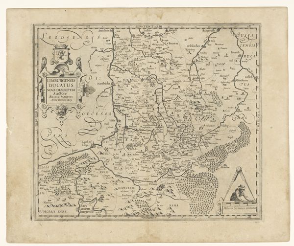
drawing, print, paper, pen, engraving
#
drawing
#
baroque
# print
#
old engraving style
#
paper
#
pen work
#
pen
#
history-painting
#
engraving
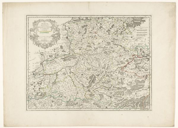
Dimensions: height 157 mm, width 223 mm
Copyright: Rijks Museum: Open Domain
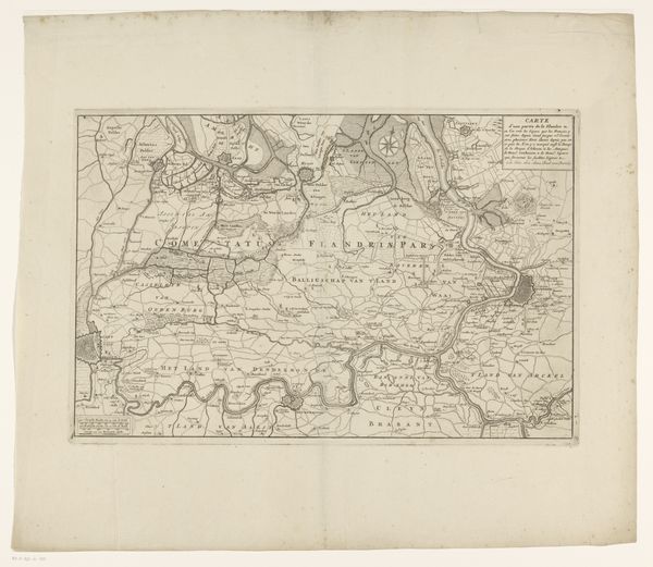
This is an anonymous map of the County of Hainaut, an engraving on paper at the Rijksmuseum. The first impression is of a network, a tightly interwoven lattice of thin lines that delineate not just borders but also waterways and land divisions, creating a complex visual texture. The formal structure of the map is striking. The County is surrounded by labels of other regions, mirroring the interconnectedness of territories and jurisdictions. Semiotically, each line and symbol acts as a signifier, pointing to physical and administrative realities. Place names are scattered across the map, functioning as anchors in a geographical and political landscape. The map exists not just as a depiction of space but also as a cultural artifact, reflecting how territory was conceived and controlled. The map invites us to see it as a dynamic interplay between representation and power.
Comments
No comments
Be the first to comment and join the conversation on the ultimate creative platform.
More like this