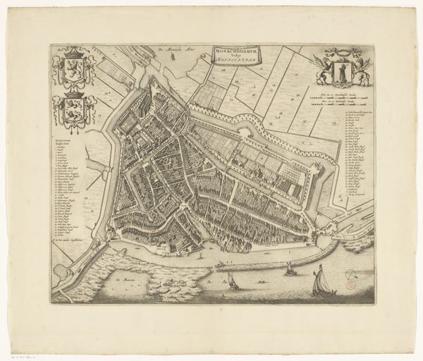
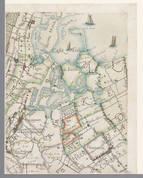
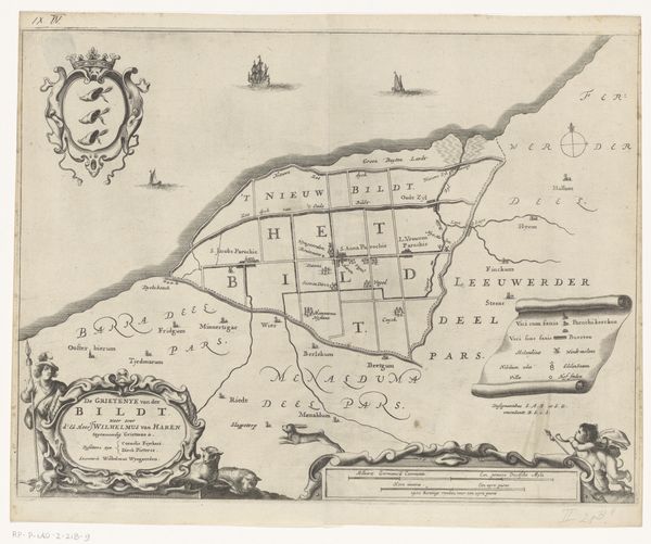
graphic-art, print, engraving
#
graphic-art
#
dutch-golden-age
# print
#
pen illustration
#
old engraving style
#
landscape
#
cityscape
#
engraving
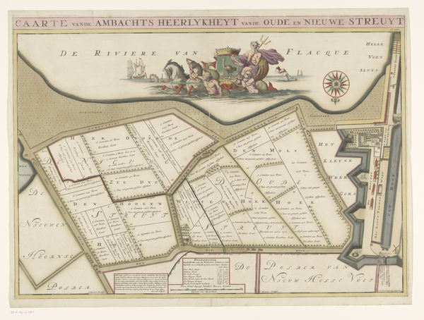
Dimensions: height 515 mm, width 595 mm
Copyright: Rijks Museum: Open Domain
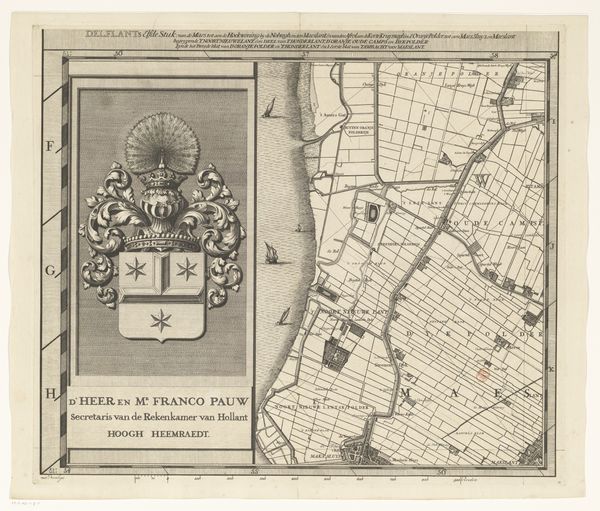
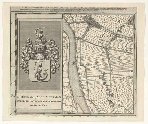
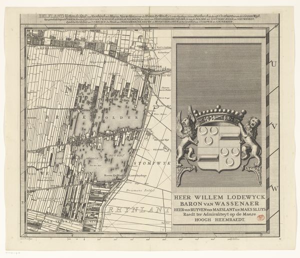
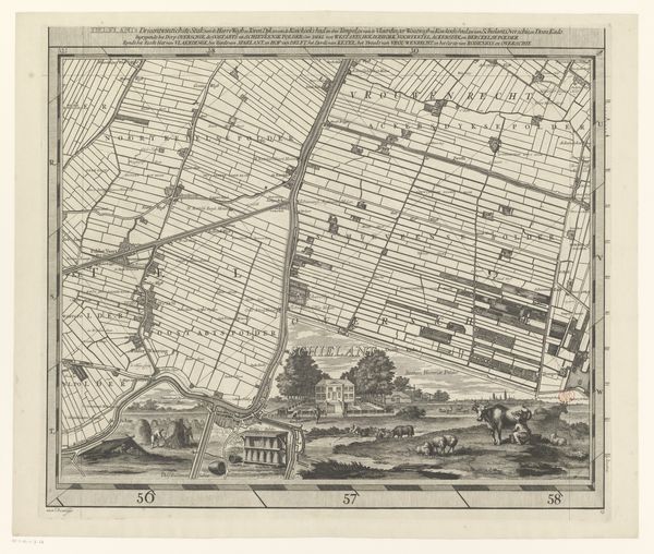
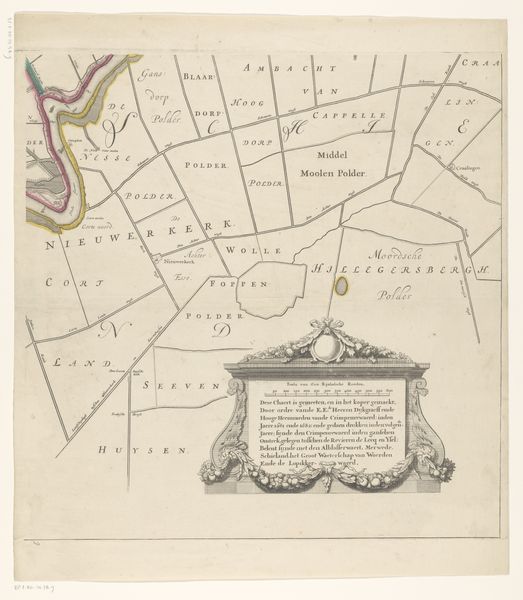
This is the sixth section of a map of the Delfland Water Board, produced by Luggert van Anse. This map offers a fascinating glimpse into the social and political landscape of the Netherlands. Water boards held considerable power, managing vital infrastructure and land use. The map meticulously details polders – the low-lying lands reclaimed from the sea, reflecting the Dutch mastery of hydraulic engineering and their constant battle against the water. The prominent coat of arms and dedicatory inscription highlight the role of the elite in governing these crucial resources. Created at a time of increasing urbanization and trade, this map reflects not only geographical precision but also the assertion of authority and control over the land. To truly understand this image, archival research into the history of Dutch water management and the families involved would be invaluable. It’s a reminder that even seemingly objective maps are embedded with social and institutional power.
Comments
No comments
Be the first to comment and join the conversation on the ultimate creative platform.
More like this