drawing, print, engraving
#
drawing
#
dutch-golden-age
# print
#
landscape
#
history-painting
#
engraving
Dimensions: height 447 mm, width 675 mm
Copyright: Rijks Museum: Open Domain
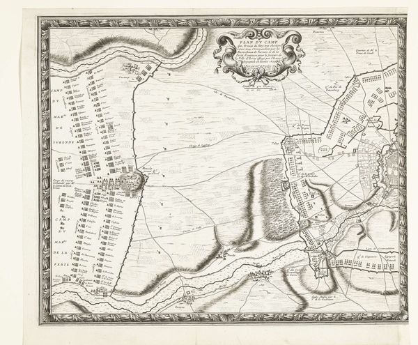
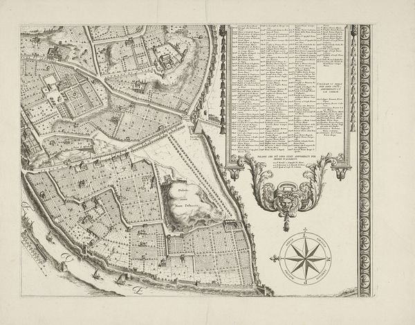
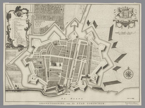
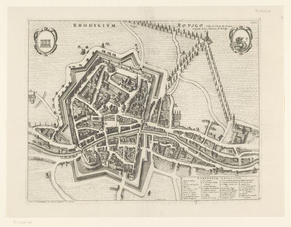
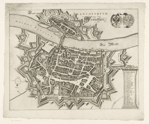
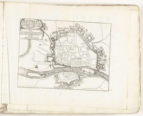
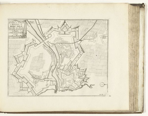
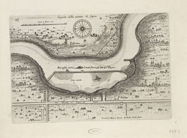
This is Jan Stemmers's map of the siege of Leiden, made in 1573-1574. It's made using ink on paper, a relatively common, but skilled, technique for the time. The appearance of the siege map is very much influenced by its material. The ink allows for precise lines and details, which are crucial for accurately representing the city's layout and the positions of the besieging forces. The choice of paper as a ground, while practical, also speaks to the map’s function as a portable and reproducible document. Maps like this served multiple purposes. They were tools for military strategy, propaganda pieces, and records of historical events. The act of mapping itself was a form of power, asserting control over territory and knowledge. Stemmers’s map reflects the social and political context of the Dutch Revolt, in which Leiden played a pivotal role. The creation of such a detailed map required not only technical skill, but also access to information and resources, reflecting a significant investment of labor and expertise. By considering the materials, making, and historical context, we can appreciate the full meaning of this seemingly straightforward depiction of a siege.
Comments
No comments
Be the first to comment and join the conversation on the ultimate creative platform.


