drawing, ink, pen
#
drawing
#
baroque
#
pen illustration
#
pen sketch
#
ink
#
geometric
#
pen
#
cityscape
Dimensions: height 212 mm, width 282 mm
Copyright: Rijks Museum: Open Domain
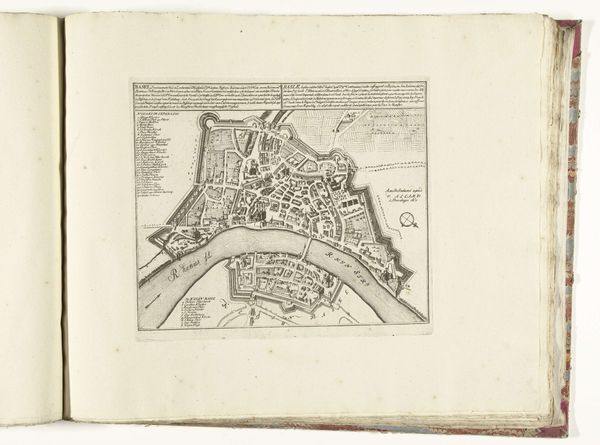
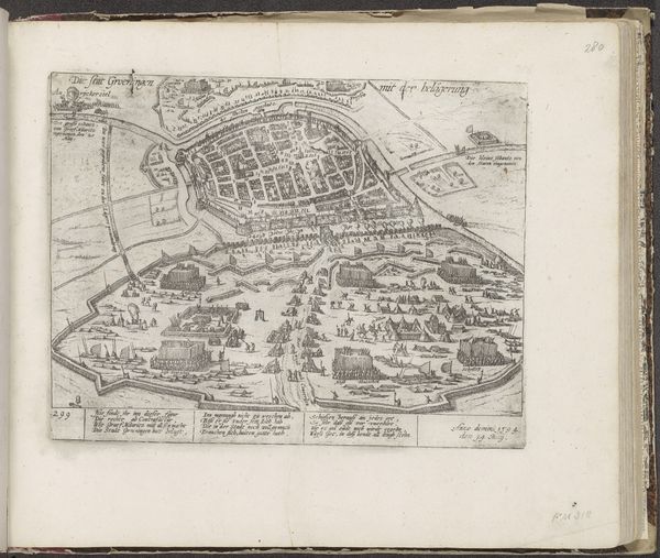
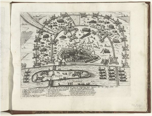
This is an anonymous map of Maastricht, dating back to around 1702, rendered with the precision of an engraver’s tool. The map isn’t just a guide, it's a lens through which we can view a city shaped by conflict and identity. During this period, Maastricht was a strategic point of contention between the Dutch Republic and various European powers. What stories do these walls conceal? What struggles for power, what personal stories of those caught in the crossfire? This map is a document, but it's also a stage where the dramas of identity, nationality, and power played out. Consider how maps like these were used - not just for navigation, but also for military strategy and political control. Who had access to this knowledge, and how did it shape their understanding of the world? And what does it mean to look at a place that was, for so many, both home and battlefield? The act of mapping is never neutral; it's always an assertion of power and perspective.
Comments
No comments
Be the first to comment and join the conversation on the ultimate creative platform.
More like this