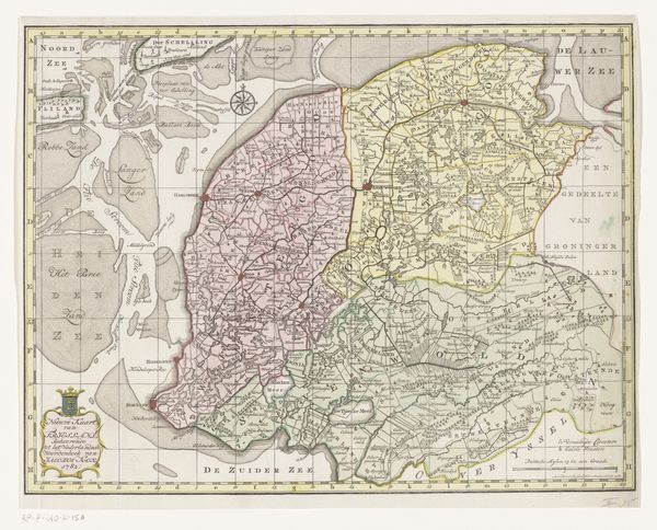
print, engraving
#
baroque
#
dutch-golden-age
# print
#
landscape
#
coloured pencil
#
engraving
Dimensions: height 860 mm, width 1398 mm
Copyright: Rijks Museum: Open Domain
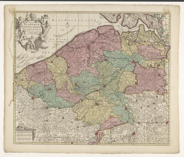
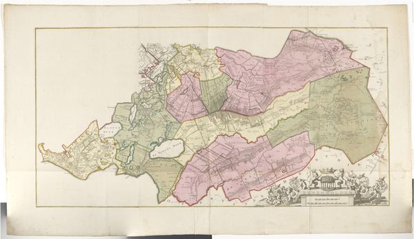
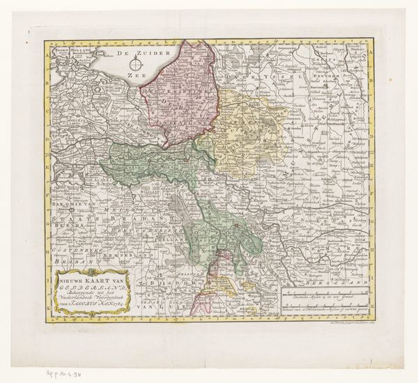
Curator: Here we have “Kaart en beschrijving van Overijssel,” a map and description of Overijssel, dating roughly from 1648 to 1725 and attributed to Gerard Coeck. The medium is engraving, a print of surprising detail. Editor: My first impression is one of order and ambition. Look at how this area, divided into parcels, has been delineated and described. This tells me the image-makers value knowing how to organize the physical spaces, both land and water. Curator: Absolutely. This is a product of its time: the Dutch Golden Age, and maps were, of course, tools for power and control. Beyond political divisions, notice the detailed rendering of the land itself, the subtle colors likely applied by hand, emphasizing the manipulation of resources and land management. It reflects not only spatial orientation, but also speaks volumes about land ownership. Editor: Beyond the pragmatism, I find these borders and regions, distinguished by colors, evoke a history of communities. Even those decorative cartouches; they represent civic pride and identity, a sense of place. The compass rose indicates maritime power and commercial ambition. Curator: Agreed, and I’d add that the production itself – engraving and hand-coloring – speaks to a significant labor force and established printing infrastructure of the time. Someone made the tools for the engraving, someone drew the lines. It is a product of early-modern capitalism, a network of materials and exchange. Editor: Right, there's the overt symbolism we’ve discussed but consider the submerged symbols: for example, what did color mean to those who lived in Overijssel? We know they did not encounter pre-determined shades; pigment was crafted by specialized guilders using natural elements from distinct locales. Those hues weren't just geographical; they were emotional and associative. Curator: Yes, thinking about how these raw materials become associated with control, capital, and also pride is a worthwhile point. It links directly to questions about how maps function as markers of both actual space and perceived boundaries. Editor: I think tracing a map like this provides a deep immersion into how those of this period were thinking about, and creating meaning within, their territories and identities. Curator: Considering both its craftsmanship and historical significance, it shows us both what could be, and what already was during the height of cartographic ambition.
Comments
No comments
Be the first to comment and join the conversation on the ultimate creative platform.
More like this