#
aged paper
#
sketch book
#
etching
#
personal sketchbook
#
botanical drawing
#
sketchbook drawing
#
storyboard and sketchbook work
#
sketchbook art
#
botanical art
#
watercolor
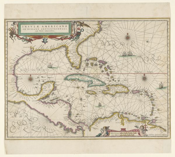
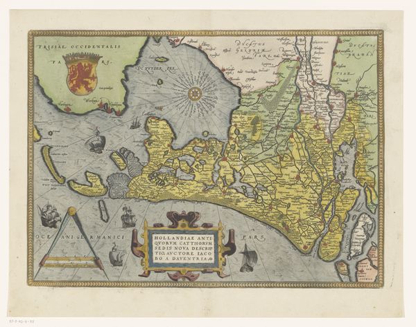
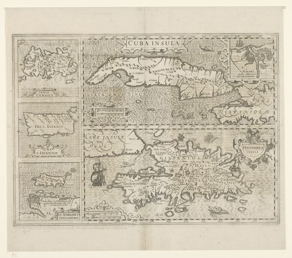
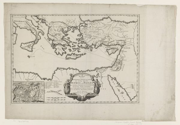
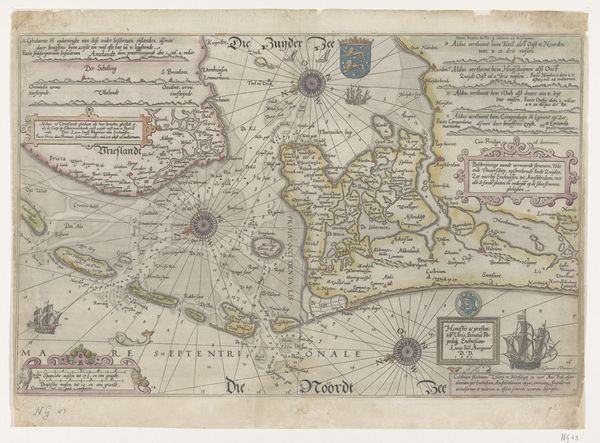
Dimensions: height 40.1 cm, width 52.5 cm
Copyright: Rijks Museum: Open Domain
Pieter Goos created this map of the Eastern Mediterranean, a Zeekaart, sometime in the 17th century. As a detailed navigational chart, it speaks to the burgeoning maritime trade of the Dutch Golden Age. But consider too what this map represents culturally. Look at the decorative figures in the upper right: a turbaned man gazes upon a European figure. What does it mean to frame the Mediterranean this way? This map comes out of a specific Dutch context, when the relatively new institutions of cartography and scientific navigation were increasingly employed for military and economic expansion. By reading historical documents, such as ships’ logs, trade statistics, and other maps, we can better understand how this image was part of a larger cultural project. The Zeekaart is not just a neutral depiction of geography; it's a visual assertion of power and knowledge, reflecting and shaping the world it claimed to represent.
Comments
No comments
Be the first to comment and join the conversation on the ultimate creative platform.
More like this