print, etching, engraving
# print
#
etching
#
landscape
#
etching
#
history-painting
#
engraving
Dimensions: height 360 mm, width 530 mm
Copyright: Rijks Museum: Open Domain
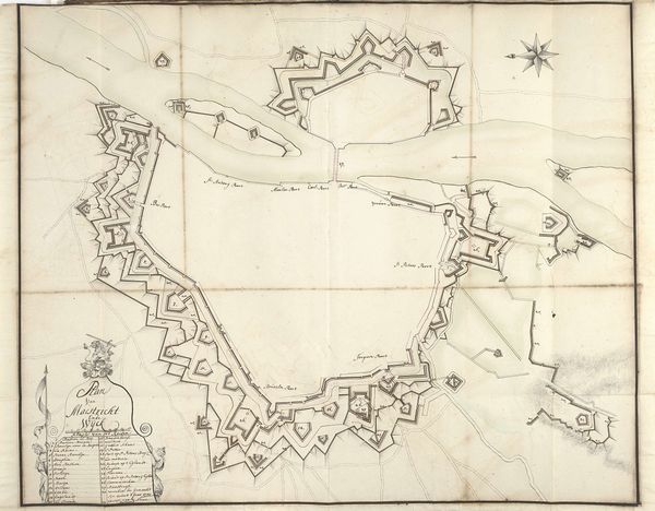
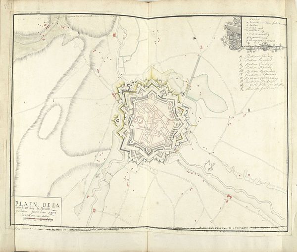
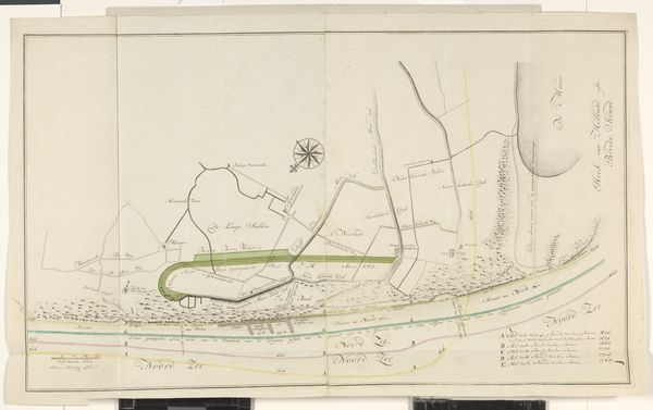
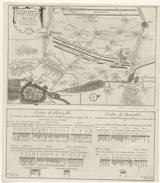
This "Siege of Bouchain, 1711" map, made by Nicolas Suly, delineates the military strategies employed during the War of the Spanish Succession. A constellation of lines and symbols charts the positions of allied and French forces. The map is full of different kinds of lines: trenches, communication lines, entrenchments... Lines, in this context, take on a primal significance. Lines are the very essence of spatial orientation, a concept echoed in ancient cartography, where lines marked trade routes and territorial boundaries. The lines remind me of the thread of life and death, like the thread with which Ariadne helped Theseus find his way out of the labyrinth. Similarly, the military engineers must have felt when drawing these lines, that they were deciding the fate of many people. The cartographer becomes like the Fates of Greek mythology. Perhaps, unconsciously, these mapmakers sought to impose order upon the chaos of war. This impulse is a powerful emotional force: the desire to understand and control our environment. The recurring motif reflects a universal human yearning for structure. The map serves as a testament to the enduring human quest to chart our world and predict its outcomes, even when faced with the unpredictability of war.
Comments
No comments
Be the first to comment and join the conversation on the ultimate creative platform.
More like this