drawing, print, paper, ink, engraving
#
drawing
#
baroque
#
dutch-golden-age
# print
#
landscape
#
classical-realism
#
paper
#
ink
#
geometric
#
cityscape
#
genre-painting
#
academic-art
#
engraving
Dimensions: height 460 mm, width 655 mm
Copyright: Rijks Museum: Open Domain
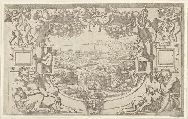
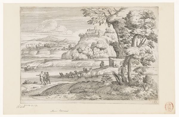
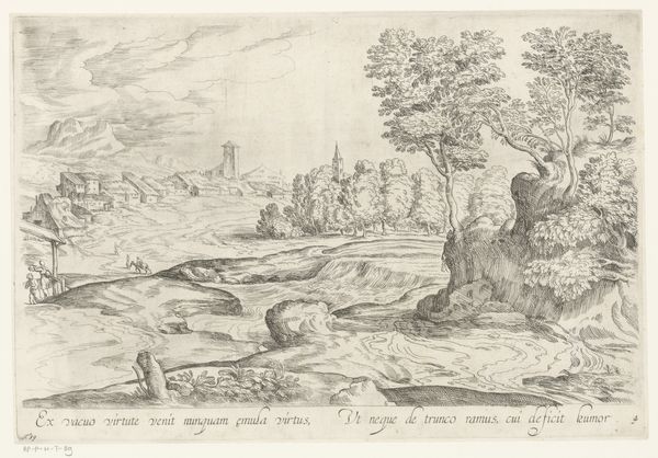
Philibert Bouttats created this map of Maarsseveen. The composition of this map is striking, where the practical cartography merges with idyllic pastoral scenes. On the left, we see a detailed grid of land plots and structures, rendered with a focus on clarity and precision, with the lines delineating the fields. The cartographic section transitions into an idealized landscape, featuring shepherds, animals, and classical figures. This transition introduces a blend of utility and allegory, suggesting an overlay of control onto nature. The visual order of the map operates as a symbolic ordering of society itself. The juxtaposition of geometric precision and pastoral imagery reflects a particular 17th-century worldview. The map challenges the notion of fixed, singular meaning by presenting space as both measurable and representational. It creates a dialogue between objective mapping and subjective experience.
Comments
No comments
Be the first to comment and join the conversation on the ultimate creative platform.
