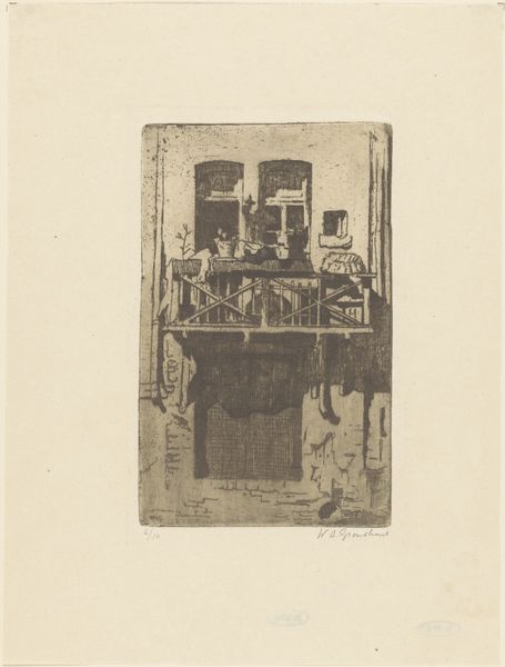
print, etching, engraving
#
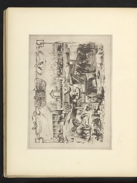
dutch-golden-age
# print
#
etching
#
etching
#
cityscape
#
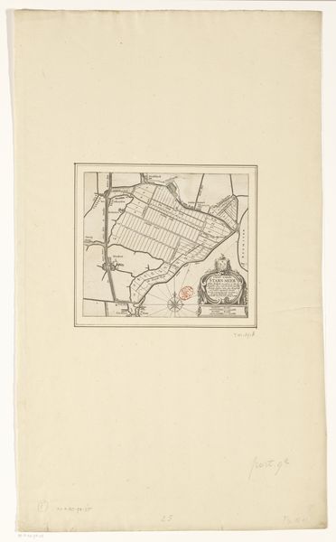
engraving
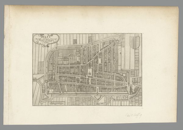
Dimensions: height 548 mm, width 651 mm
Copyright: Rijks Museum: Open Domain
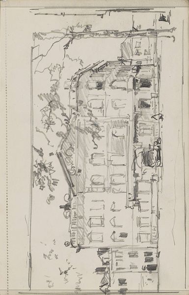
This map of The Hague was made by Cornelis Elandts, probably in the 1670s or 80s, using the technique of engraving. Think about the labor involved in producing this print: first, surveying the city to create an accurate plan, then translating that information onto a copper plate with a sharp tool. The dense network of lines, each one carefully incised, gives the image its detail, weight, and clarity. The linear quality of engraving lends itself well to representing architectural forms. Prints like this were important tools for civic administration and urban planning. They also served as symbols of municipal pride and commercial power. As printed images, they could be reproduced and distributed widely, contributing to a sense of shared identity and collective enterprise. So, next time you see an engraved image, consider the skilled work that went into its making, and how that labor is tied to wider issues of politics, trade, and knowledge.
Comments
No comments
Be the first to comment and join the conversation on the ultimate creative platform.
More like this