


drawing, print, ink, pen, engraving
drawing
dutch-golden-age
pen sketch
landscape
ink
sketchwork
geometric
pen-ink sketch
pen
engraving
Dimensions: height 261 mm, width 340 mm
Copyright: Rijks Museum: Open Domain
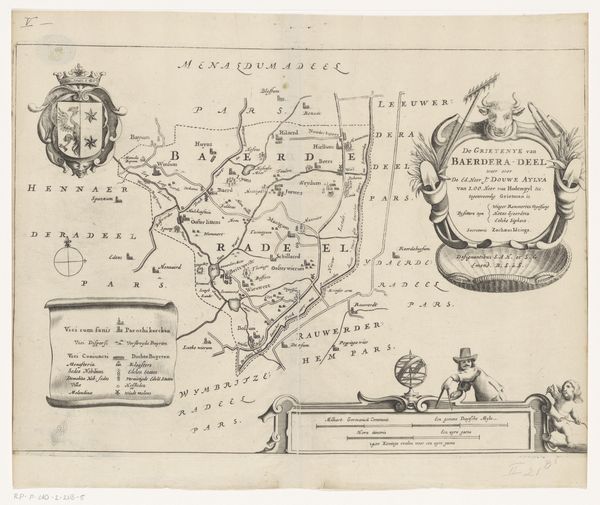
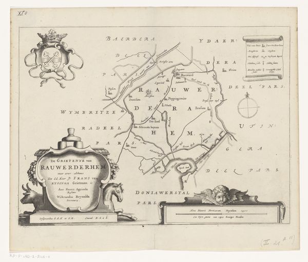
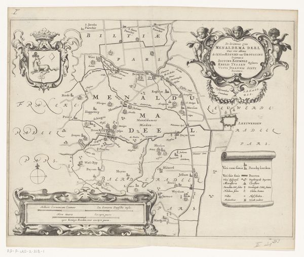
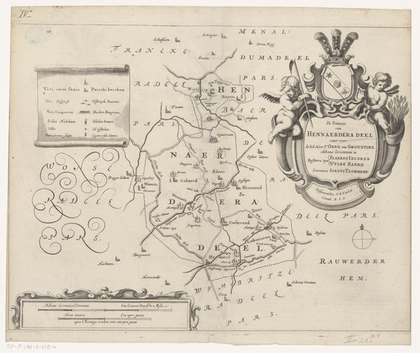
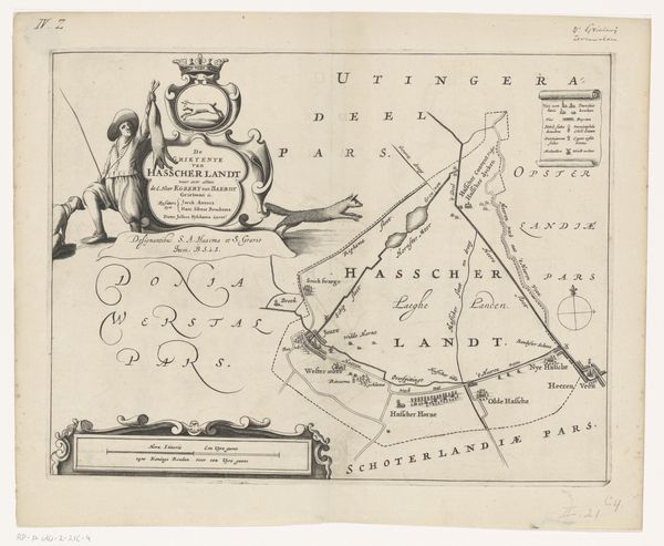
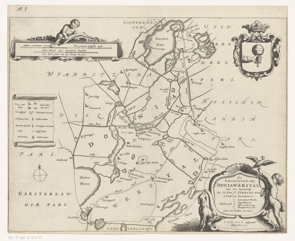
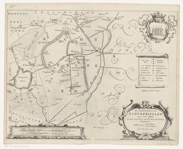
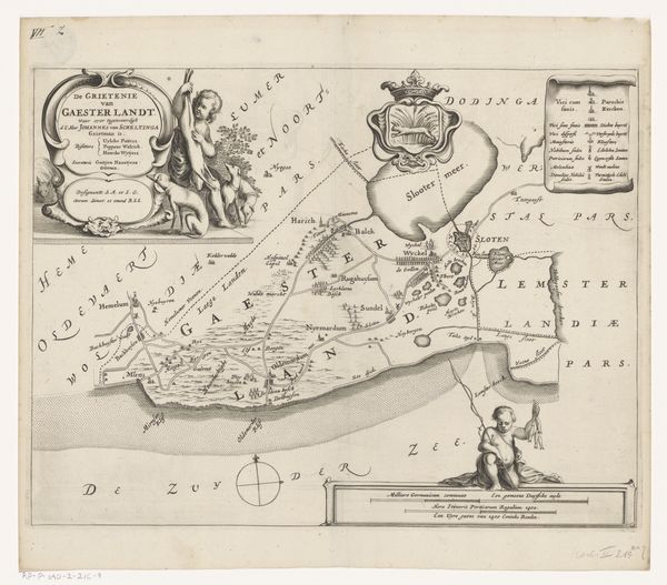
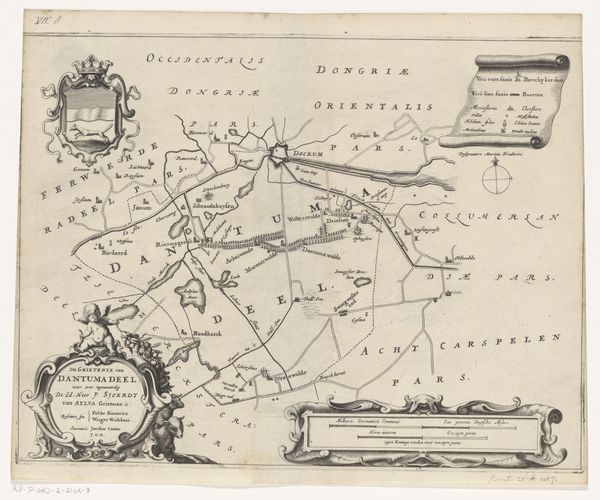
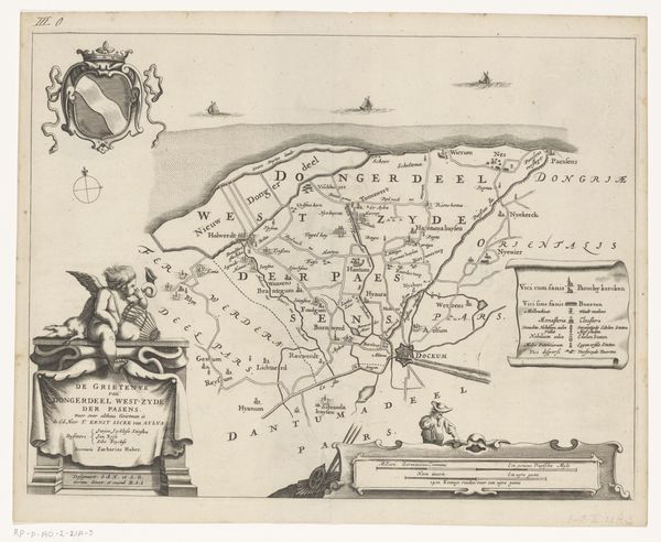
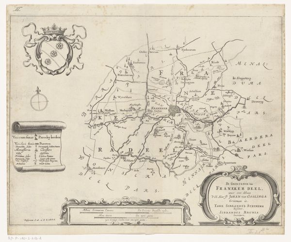
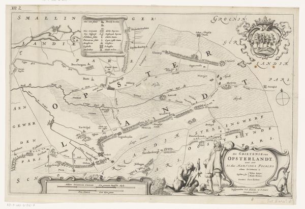
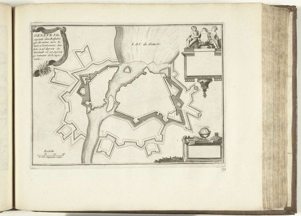
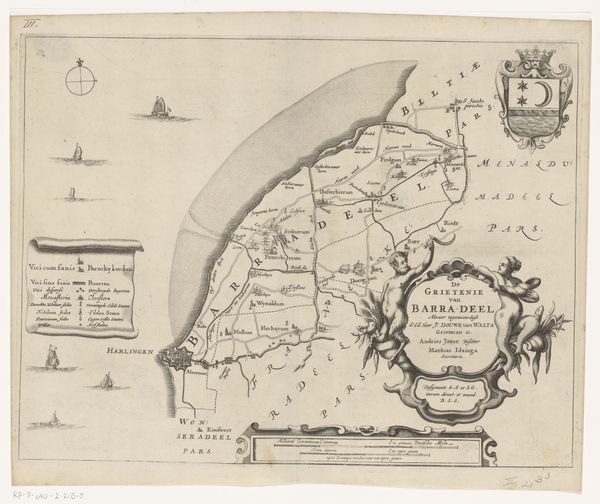
This is Jacob van Meurs' map of Aengwirden, created sometime in the 17th century using engraving techniques. It’s an object that speaks volumes about the social structures of its time. Consider the perspective embedded in this map. Land ownership and geographical knowledge were tools of power. Van Meurs made this map during the Dutch Golden Age, a period marked by unprecedented economic growth and colonial expansion. This map served practical purposes, such as for administration and legal jurisdiction, but also asserted control over territory. Who gets to define and represent a space, and whose stories are included or excluded? The detailed visual language of the map invites us to reflect on the intersections of power, knowledge, and representation. While seemingly straightforward, maps like these played a role in shaping identities and reinforcing hierarchies. They remind us that what we see is always framed by those who create the image.
Comments
No comments
Be the first to comment and join the conversation on the ultimate creative platform.
 React
React Comment