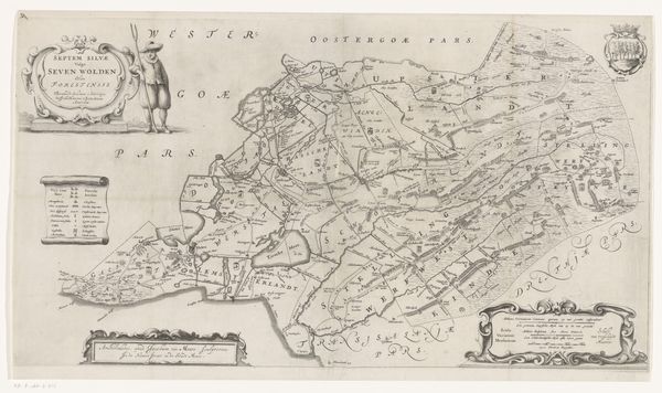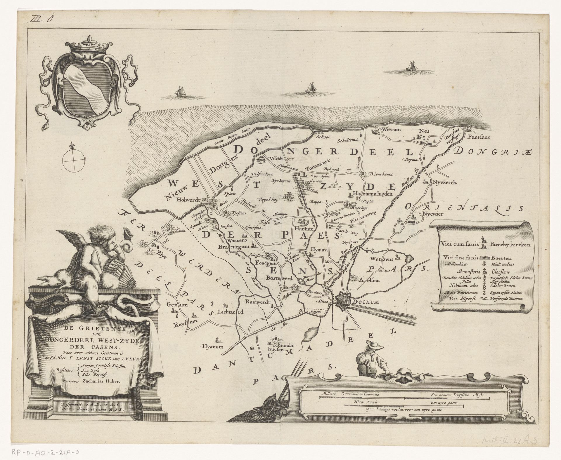
1664
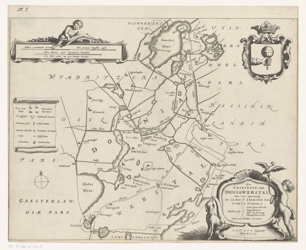
Kaart van de grietenij Westdongeradeel
Jacob van Meurs
1620 - 1680Location
RijksmuseumListen to curator's interpretation
Curatorial notes
This map of Westdongeradeel was made around 1650 by Jacob van Meurs, using engraving. This printmaking process involves cutting lines into a metal plate, inking it, and pressing it onto paper, transferring the image. Look closely, and you can see the crisp, precise lines, a testament to the engraver's skill and the time invested. But what does this process tell us? In the 17th century, cartography was more than just geography; it was about power, trade, and control. The act of mapping a territory was an act of claiming it. The detailed rendering suggests a growing awareness of land as property, of resources to be managed and exploited. The labor-intensive process reflects the economic ambitions of the Dutch Golden Age, as well as the social hierarchies inherent in mapping and land ownership. By understanding the making, we can appreciate how this map embodies the spirit of its time, raising questions about labor, resources, and the very act of representation.