graphic-art, print, engraving
#
graphic-art
#
baroque
# print
#
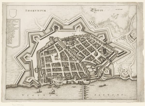
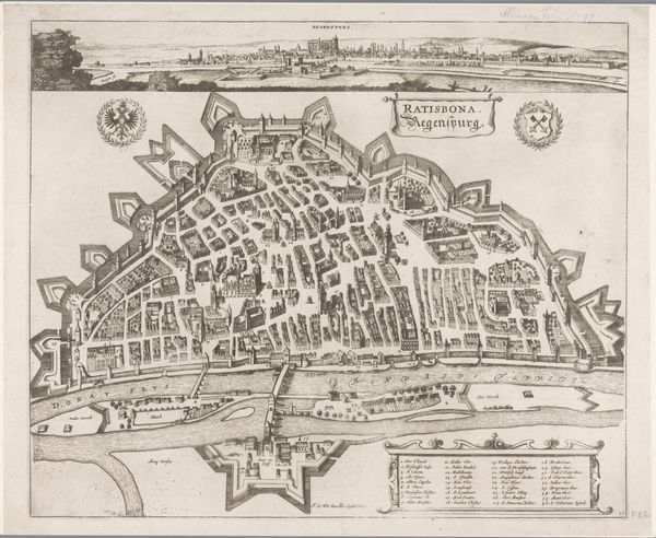
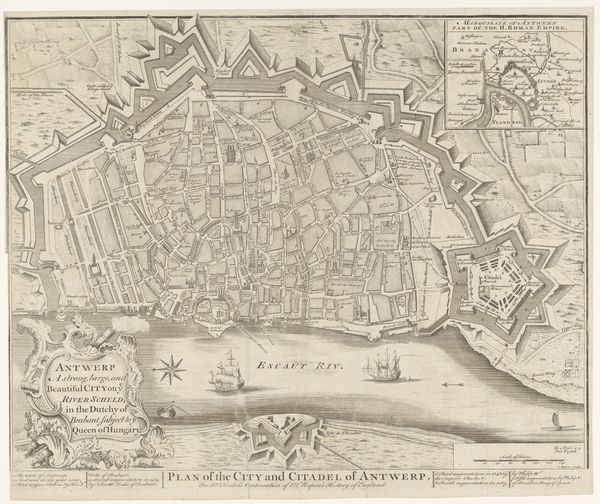
cityscape
#
engraving
Dimensions: height 265 mm, width 354 mm
Copyright: Rijks Museum: Open Domain
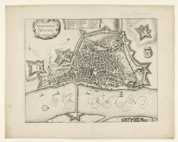
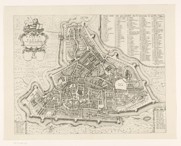
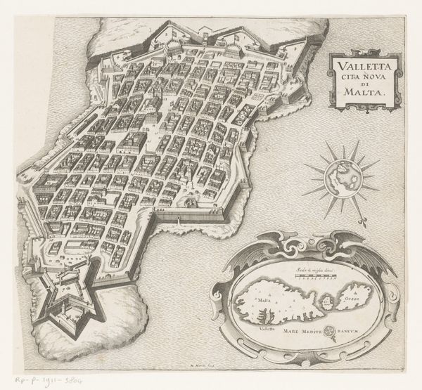
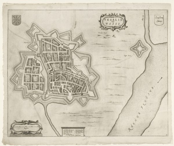
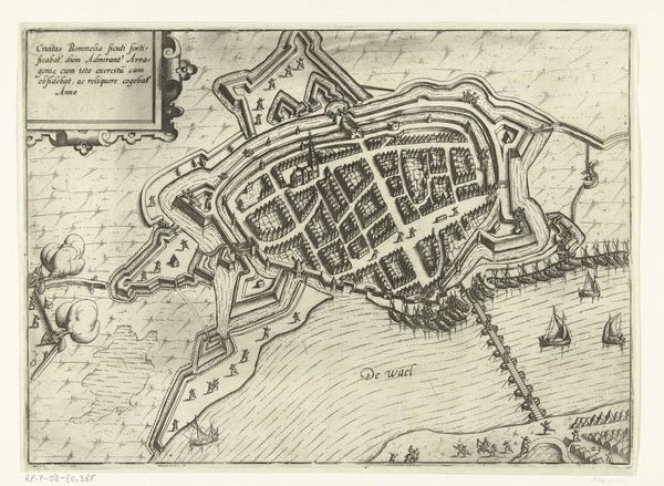
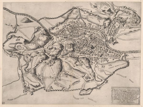
This is Matthäus Merian’s “Plattegrond van Mainz”, a detailed map created using engraving. Maps like this weren't just about navigation, they were powerful statements of ownership and control. Look at the fortifications surrounding the city. In Merian’s time, Mainz was a key strategic point, and these defenses reflect the constant power struggles of the era, especially the religious conflicts of the Thirty Years' War. But who really benefits from this sense of security? Consider how such fortifications would impact the daily lives of ordinary citizens, restricting movement, and shaping their relationship to the outside world. The map isn't a neutral document; it’s a political one. The details within the city – the arrangement of streets, the placement of key buildings – tell a story of social hierarchies and economic activities. Imagine the lives of the people who walked these streets, their experiences shaped by the boundaries and structures laid out in this plan. Maps like this remind us that even the most seemingly objective representations are imbued with perspective, power, and the complex realities of human experience.
Comments
No comments
Be the first to comment and join the conversation on the ultimate creative platform.
More like this