print, engraving
#
baroque
# print
#
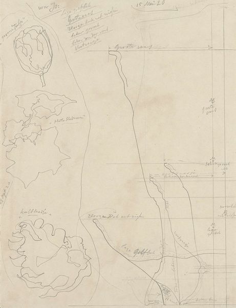
geometric
#
history-painting
#
engraving
Dimensions: height 542 mm, width 956 mm
Copyright: Rijks Museum: Open Domain
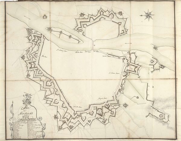
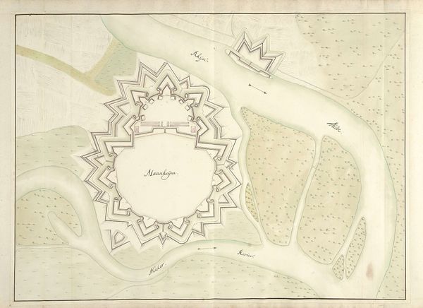
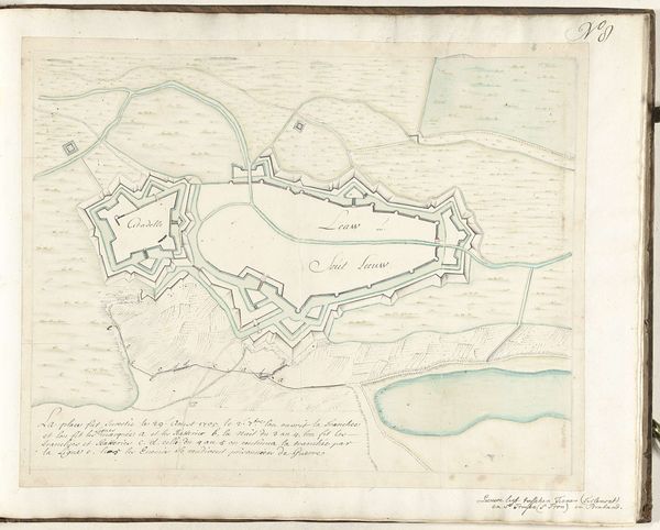
This undated map depicts the fortifications around Bergen op Zoom, rendered in ink on paper by an anonymous hand. The cool tonality of the aged paper evokes a sense of history and strategic calculation. The map’s visual structure is dominated by the geometric precision of fortifications and the stark lines of defensive structures. Consider how the network of lines and shapes across the map isn't just a representation of terrain, but a deliberate construction intended to exert control over space. The formal organization of the map serves a dual purpose: to inform military strategy and to assert a particular vision of power and order. Notice how the act of mapping itself involves choices about what to include and exclude, what to emphasize, and how to represent complex realities through simplified symbols. The map is not merely a passive reflection of the world, but an active participant in shaping our understanding of it.
Comments
No comments
Be the first to comment and join the conversation on the ultimate creative platform.
More like this