drawing, paper, watercolor
#
drawing
#
water colours
#
baroque
#
paper
#
watercolor
#
coloured pencil
#
cityscape
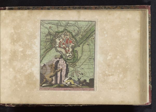
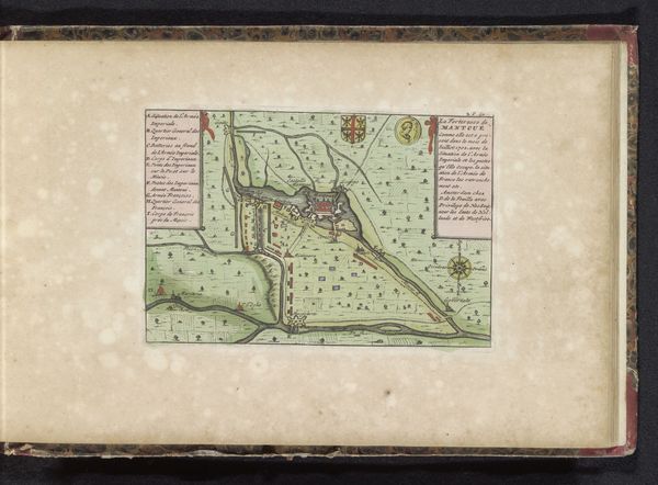
Dimensions: height 118 mm, width 172 mm
Copyright: Rijks Museum: Open Domain
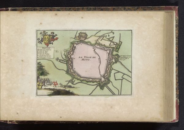
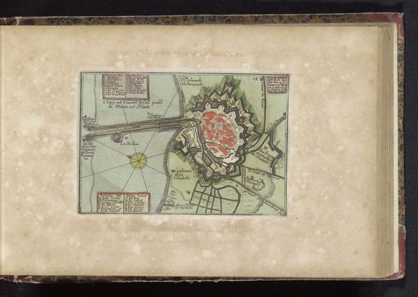
This is an anonymous plan of Nieuwpoort, rendered with ink and color, presents a structured view of the city and its surroundings. The dominant visual experience is the stark contrast between the geometric precision of the city’s layout and the natural, organic forms surrounding it. Notice how the sharp angles of the fortifications and the rigid grid of the buildings within clash with the fluid lines of the river and the varied textures of the landscape. This juxtaposition isn't accidental. It reflects a deliberate attempt to impose order on nature, transforming it into a controlled and defensible space. Here, the formal elements speak to a broader cultural context, where human ingenuity and military strategy shape the environment. The city is not merely a place but a symbol of human control and resilience. The map is a visual document but an ideological statement, reflecting the values of the society that produced it. Ultimately, this image invites us to consider how we perceive and interact with our world.
Comments
No comments
Be the first to comment and join the conversation on the ultimate creative platform.
More like this