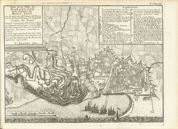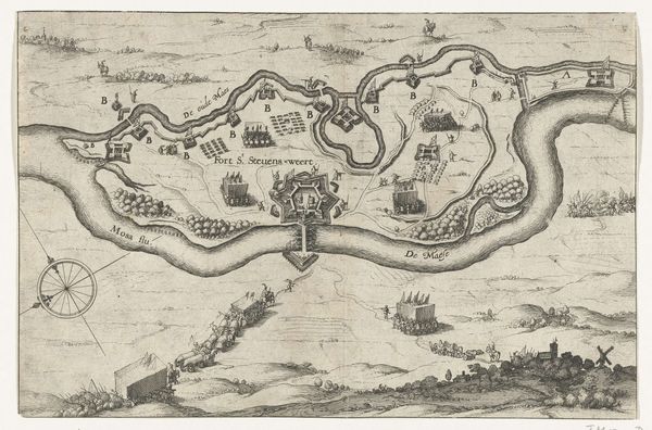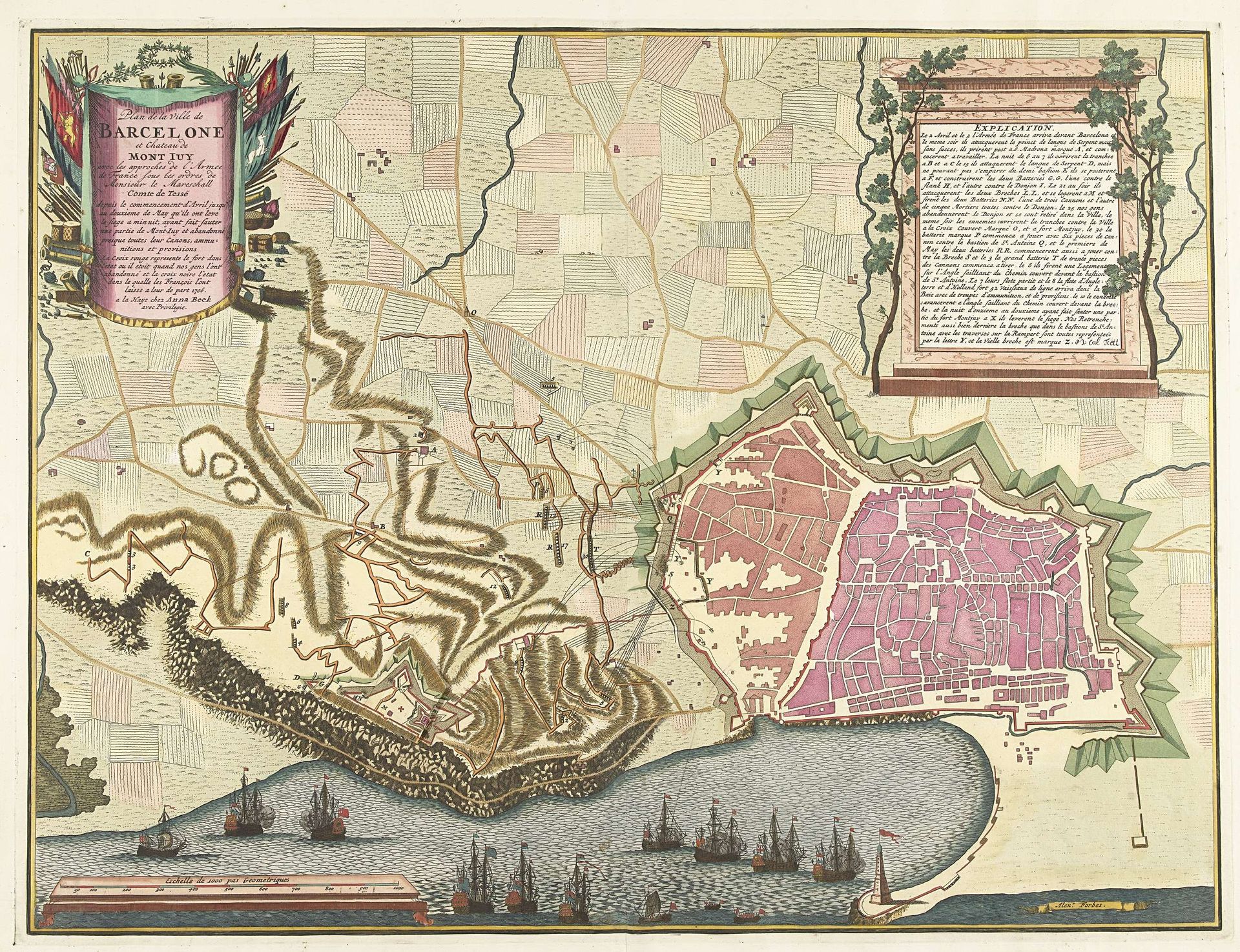
1706
Kaart van het beleg van Barcelona, 1706
Pieter van (II) Call
1688 - 1737Location
RijksmuseumListen to curator's interpretation
Curatorial notes
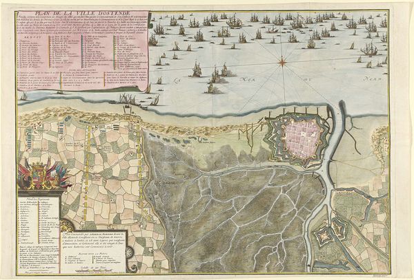
Pieter van Call created this map of the siege of Barcelona in 1706, at a time when cartography was both an art and a tool of power. Created during the War of the Spanish Succession, the map reflects the socio-political tensions of the time, documenting a pivotal moment in European power struggles. It represents more than geographical data. The map embodies the complex intersections of identity, power, and conflict, revealing how territory and sovereignty were claimed, defended, and visually represented. Consider for a moment the perspective embedded in this representation. What does it mean to map a city under siege? The map gives an idealised representation of a war, effectively erasing the human costs that war entails. It maintains a tradition of glorifying those in power, while diminishing the identities and lived experiences of the diverse populations affected by the conflict.