print, engraving
dutch-golden-age
landscape
geometric
cityscape
engraving
Dimensions: height 406 mm, width 310 mm
Copyright: Rijks Museum: Open Domain
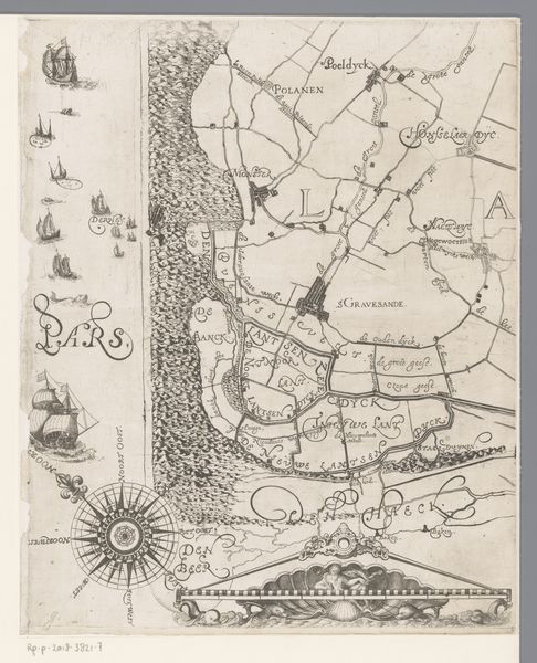
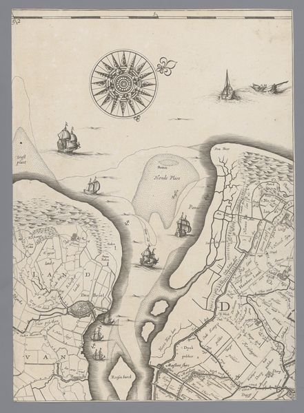
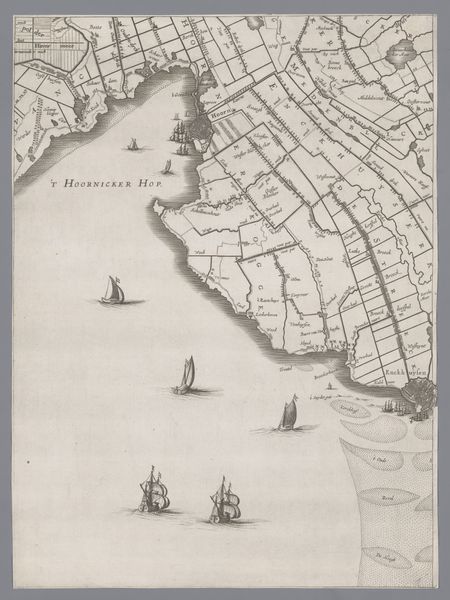
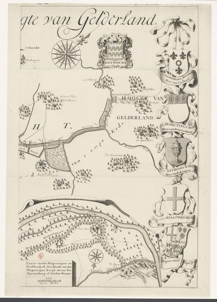
This is Jacob Aertsz Colom’s map of Holland and Utrecht, captured in ink. The compass rose dominates the composition, an ancient guidepost, marking not just direction, but the human desire to navigate the unknown. Consider the rose: it appears across cultures, from early Mediterranean seafarers to medieval portolan charts. Each point is a path, a choice, pregnant with possibility and peril. Here, it is not merely geographical; it is psychological. The boats mirror this concept, scattered as they are across the waterways. The compass rose isn’t static, it evolves. From a simple wind indicator to a complex symbol of knowledge and control, it reflects our changing relationship with the world. Much like our own internal compass, the rose’s cyclical nature reminds us that history isn’t linear. It resurfaces, each time transformed by our collective memories.
Comments
No comments
Be the first to comment and join the conversation on the ultimate creative platform.
More like this