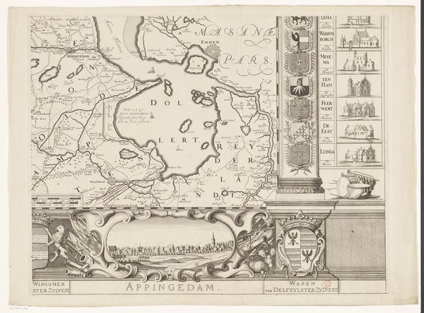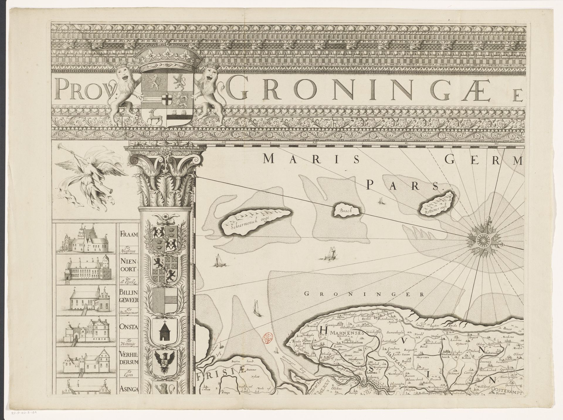
1678
Kaart van de provincie Groningen (deel linksboven)
Listen to curator's interpretation
Curatorial notes
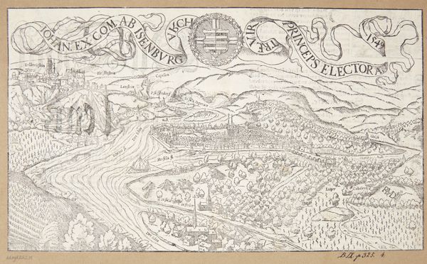
Cornelis Apeus created this map of the province of Groningen, using ink, sometime in the 17th century. This was a period marked by the Dutch Republic's Golden Age, a time of immense economic growth, global trade, and, of course, cartography. But mapping wasn't just about geographical accuracy; it was a display of power and control. The detailed depictions of landscapes, cities, and waterways served to stake claims and assert dominance. Here, Groningen is presented with a certain flair, as the province's coat of arms, held up by rampant lions, and vignettes of prominent buildings suggest civic pride. Notice how these embellishments reinforce a sense of identity and belonging. Consider the emotional weight of a map like this, especially for those whose lives were directly shaped by the political and economic forces it represents. It reflects a very particular worldview, one that invites us to consider whose perspectives are centered and whose are marginalized.