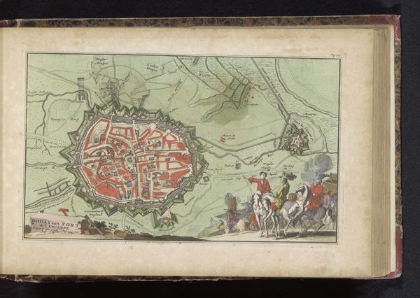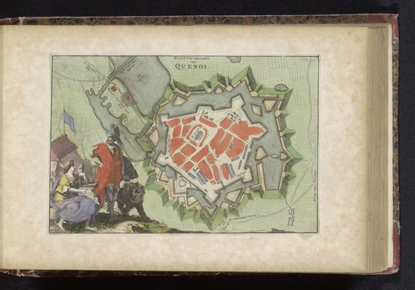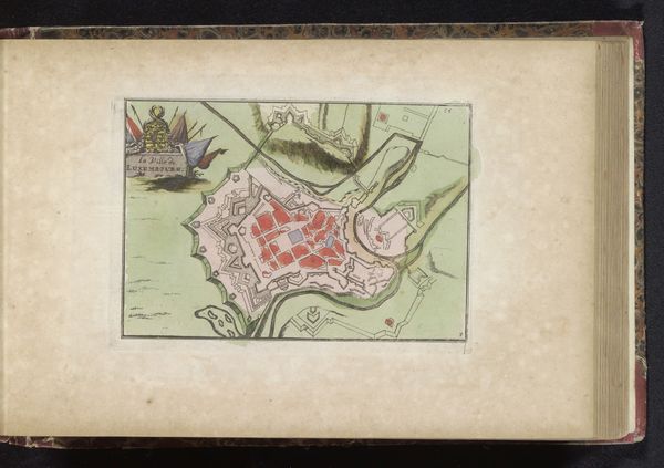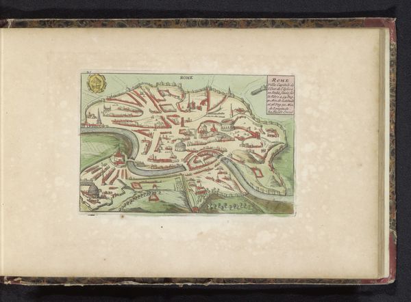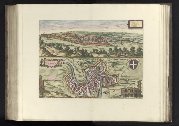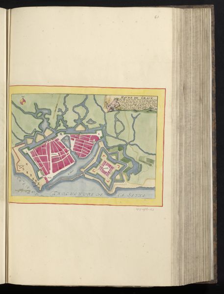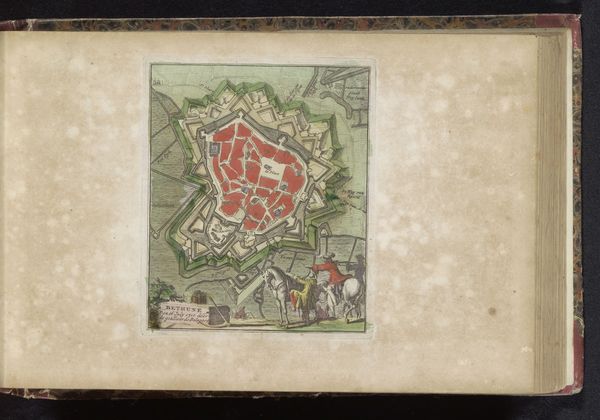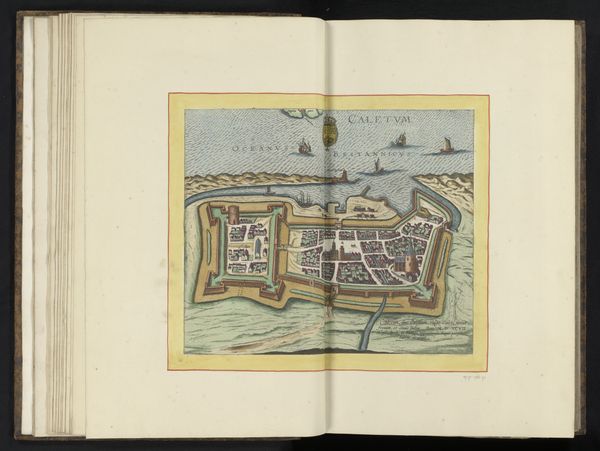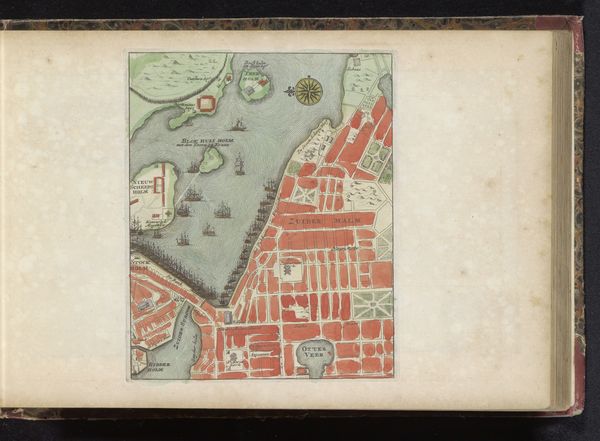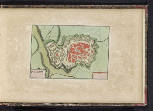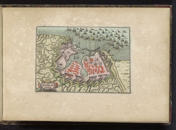
Curatorial notes
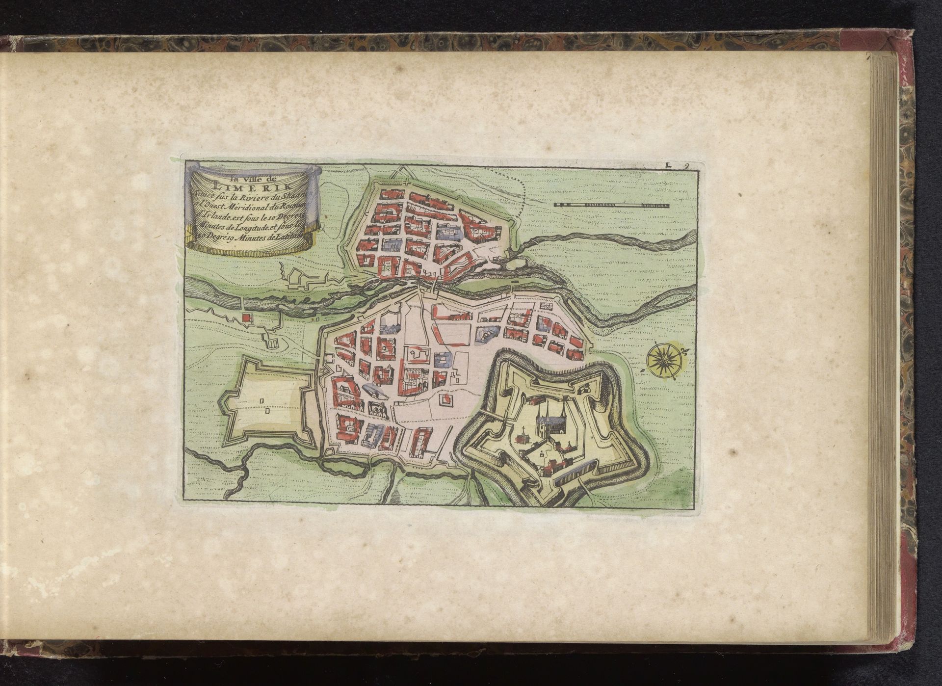
This is a hand-colored map of Limerick. Although the artist is anonymous, its intricate detail tells us that the cartographer was not only skilled but also deeply embedded in the historical and cultural narrative of the city. Here, we see the city laid out with its fortifications, rivers, and the compass rose, which doesn’t only indicate direction, it is an emblem of exploration, mastery, and control. This symbol of navigational precision reappears throughout history, from ancient mariner charts to modern military insignias. Consider the star-shaped fort, a symbol of military architecture designed to withstand sieges. This architectural motif is reminiscent of Leonardo da Vinci's designs for fortified cities, intended to psychologically dominate space and project power. These symbols resonate within our collective memory, sparking subconscious associations of protection, dominance, and the ever-present tension between security and vulnerability. The compass and the star fort are more than practical tools, they reflect a complex interplay of human ambition and the cyclical pursuit of knowledge, security, and order across the ages.