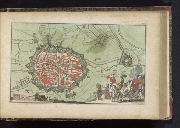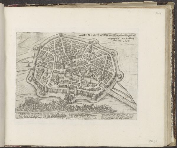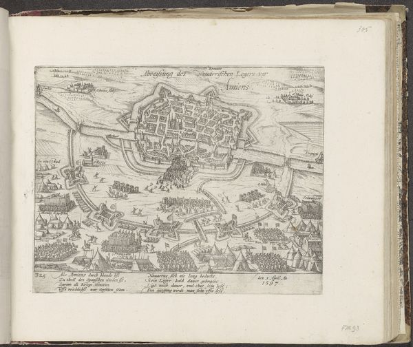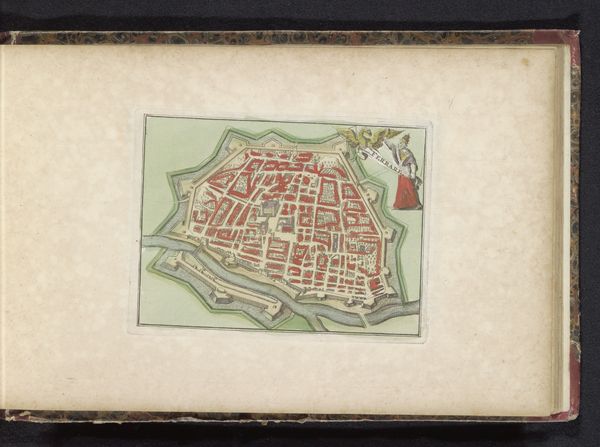
Curatorial notes
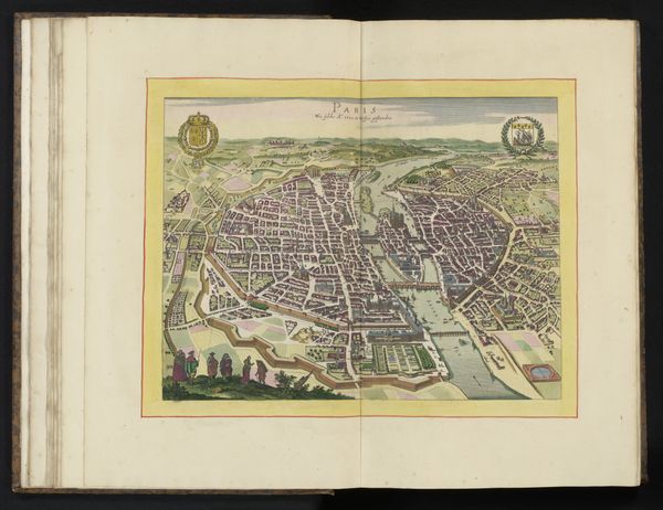
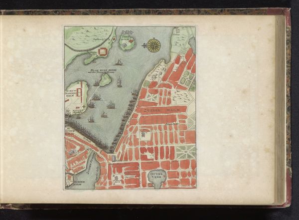
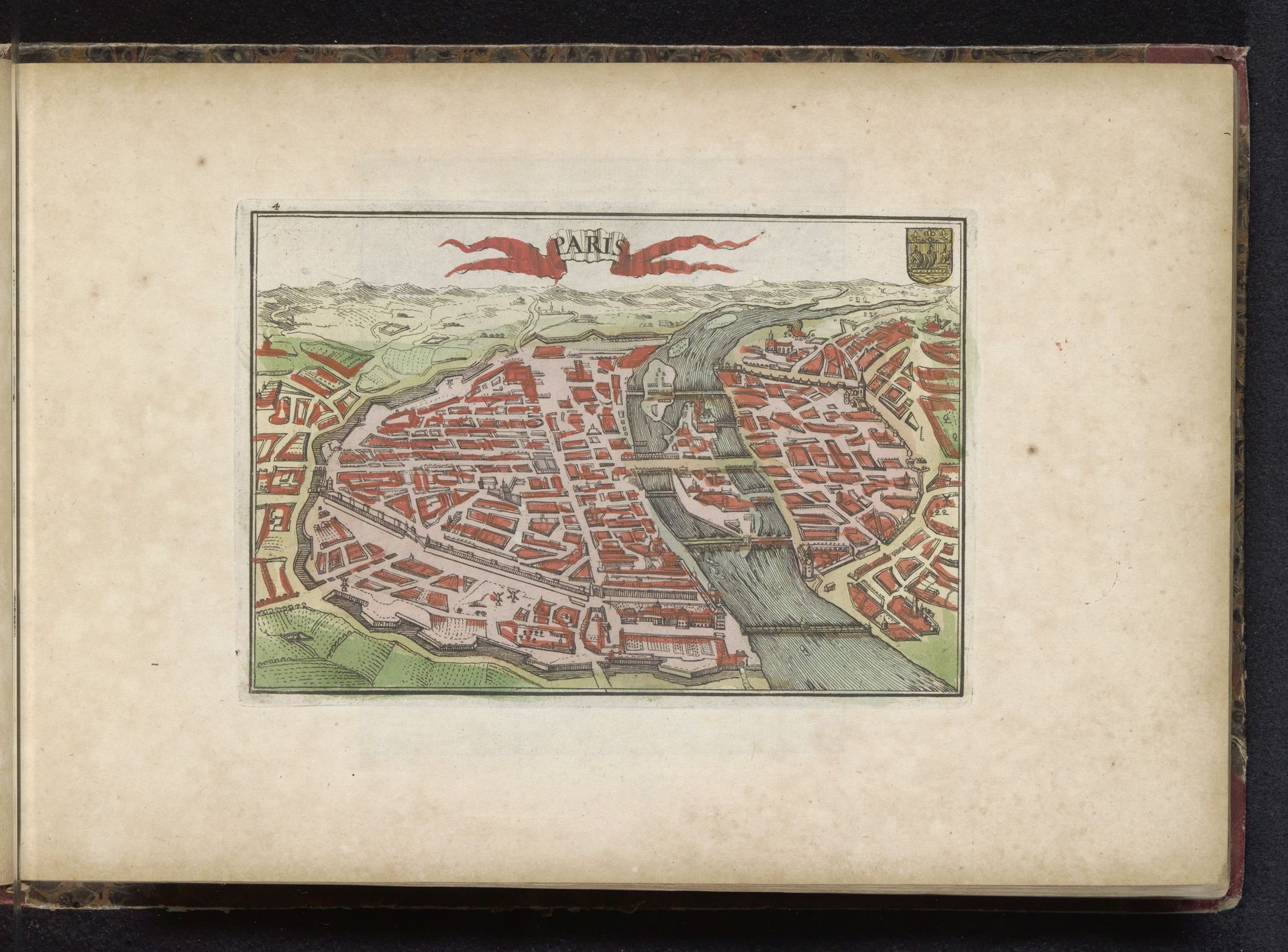
This anonymous map of Paris is characterized by its intricate detail and structured composition. Notice how the city is rendered in shades of red and brown, creating a dense, almost organic texture that contrasts with the flowing, silvery river bisecting it. The perspective is slightly elevated, allowing for a comprehensive view of the city’s layout. The buildings are depicted as simple geometric shapes that form a complex network, while the river acts as a central axis, organizing the urban space. This map engages with the idea of representation and knowledge. It is not merely a depiction of physical space, but an attempt to impose order and understanding onto the complex reality of urban life. The grid-like arrangement of streets and buildings suggests a desire to control and rationalize the urban environment, reflecting broader philosophical concerns about space and perception. Consider how this map, with its structural clarity, invites us to explore the relationship between form and content, and challenges us to question how we perceive and represent the world around us.