About this artwork
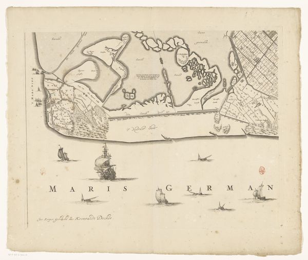
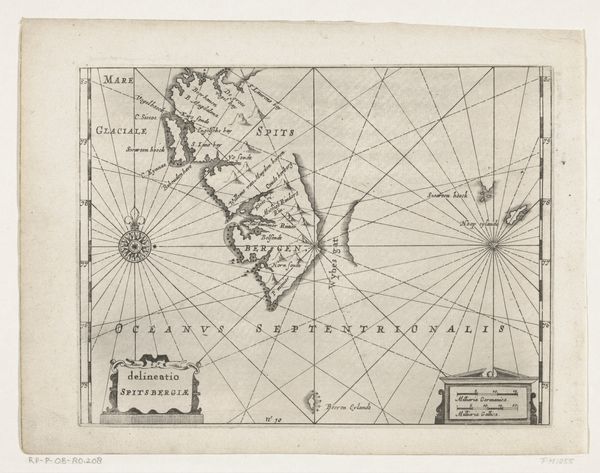
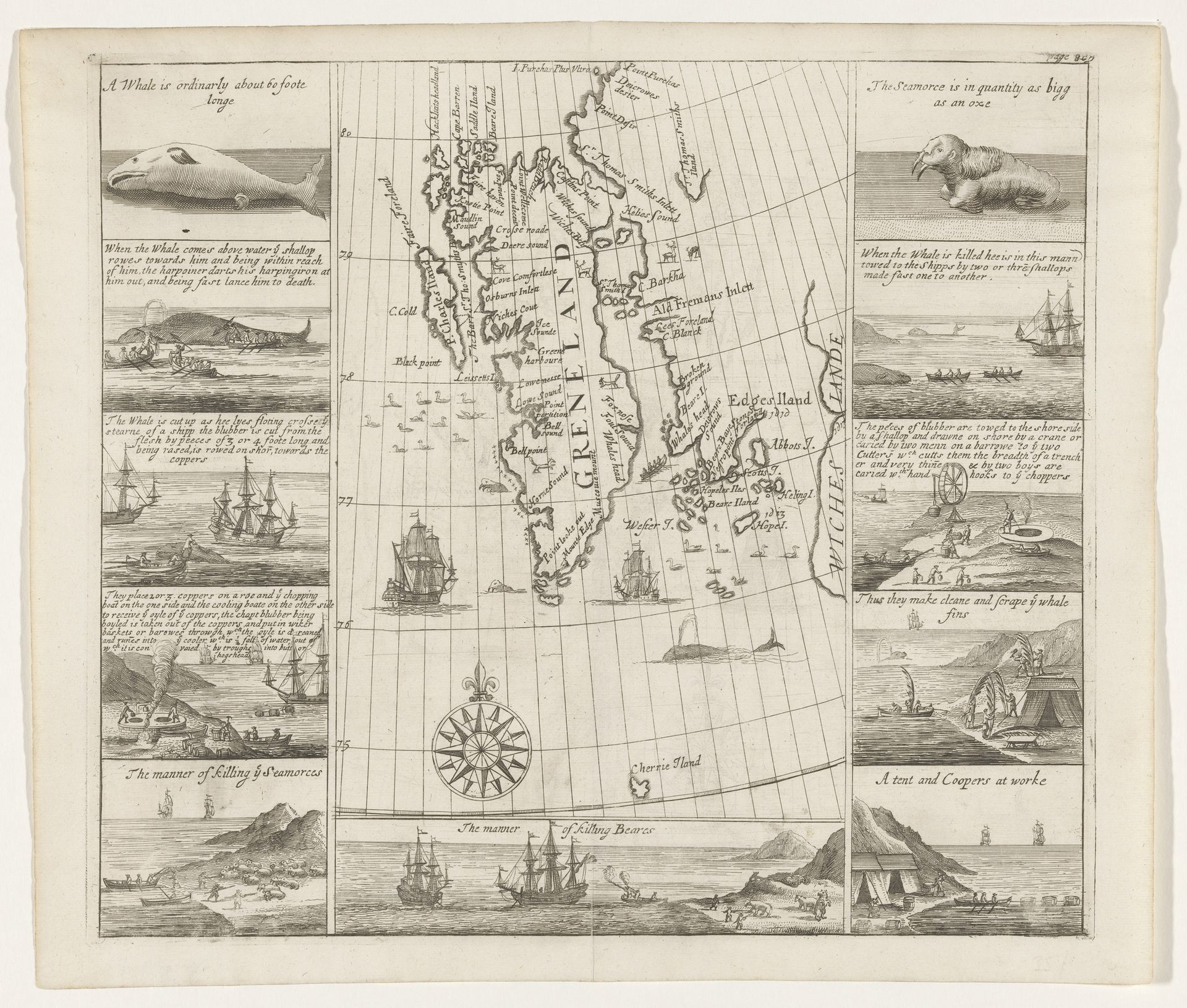
Thomas Edge created this map of Spitsbergen in 1625, a time when European powers were aggressively expanding their reach for resources and trade routes. This isn't just a geographical document; it's a window into the economic and ecological violence of the era. The map is framed by scenes of whaling and walrus hunting, graphically illustrating the brutal exploitation of Arctic wildlife. The detailed depictions of the hunting process highlight the intersection of cartography, commerce, and colonial ambition. What is left out of the image? Indigenous populations, their knowledge, and their relationship to this land. Edge's map invites us to consider whose perspectives are prioritized in the making of history. The image evokes a complex mix of wonder at the unknown and a deep sorrow for the lives taken. It serves as a reminder of how exploration and resource extraction are intertwined with issues of power, ethics, and environmental change.
Kaart van Spitsbergen van Thomas Edge, 1625
1625
Artwork details
- Medium
- print, paper, ink, engraving
- Dimensions
- height 294 mm, width 333 mm
- Copyright
- Rijks Museum: Open Domain
Tags
Comments
Share your thoughts
About this artwork
Thomas Edge created this map of Spitsbergen in 1625, a time when European powers were aggressively expanding their reach for resources and trade routes. This isn't just a geographical document; it's a window into the economic and ecological violence of the era. The map is framed by scenes of whaling and walrus hunting, graphically illustrating the brutal exploitation of Arctic wildlife. The detailed depictions of the hunting process highlight the intersection of cartography, commerce, and colonial ambition. What is left out of the image? Indigenous populations, their knowledge, and their relationship to this land. Edge's map invites us to consider whose perspectives are prioritized in the making of history. The image evokes a complex mix of wonder at the unknown and a deep sorrow for the lives taken. It serves as a reminder of how exploration and resource extraction are intertwined with issues of power, ethics, and environmental change.
Comments
Share your thoughts