print, paper, ink, pen, engraving
#
medieval
#
ink paper printed
# print
#
paper
#
ink
#
geometric
#
pen-ink sketch
#
pen work
#
pen
#
cityscape
#
northern-renaissance
#
engraving
Dimensions: height 423 mm, width 544 mm
Copyright: Rijks Museum: Open Domain
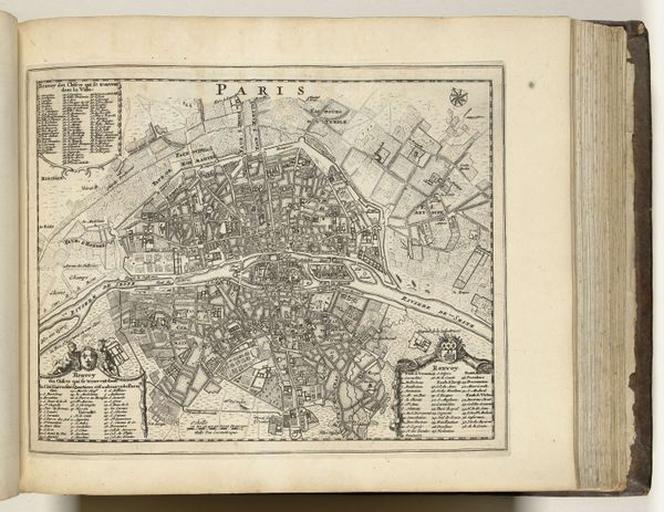
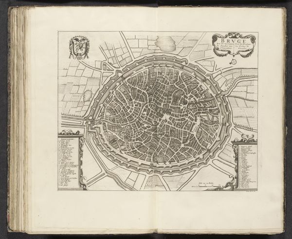
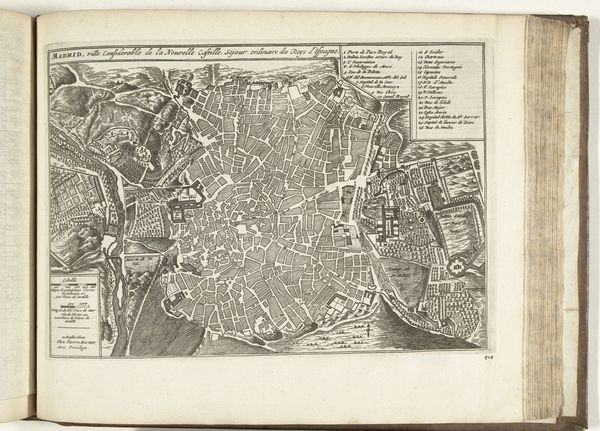
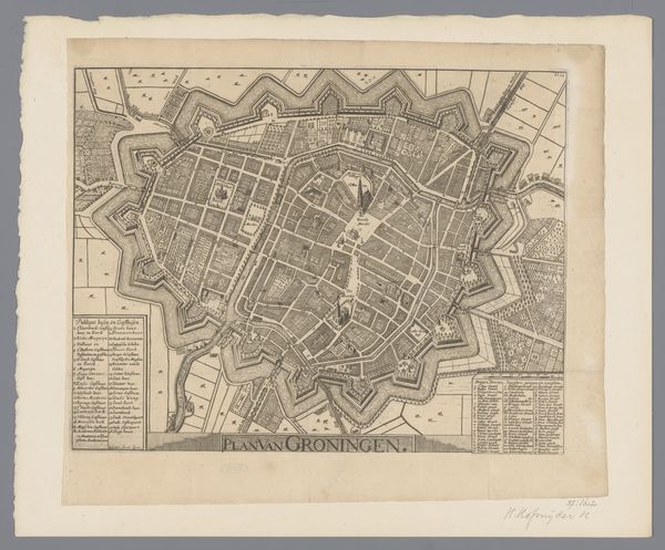
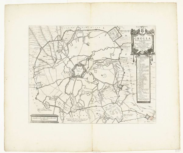
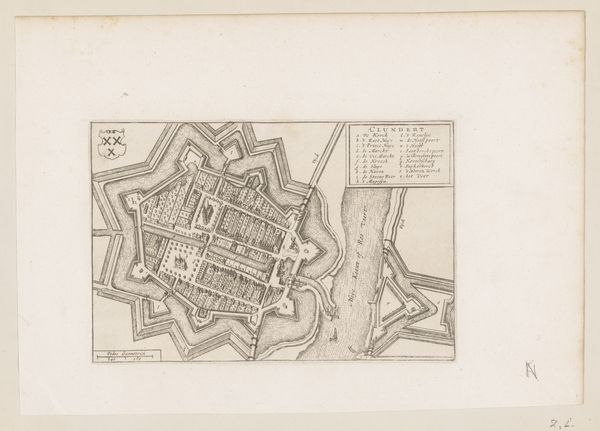
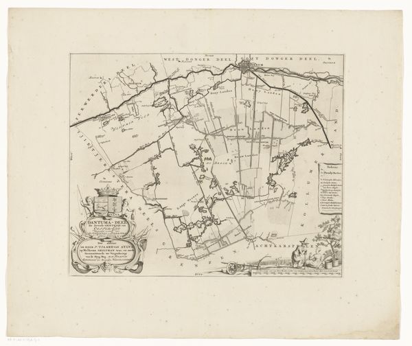
This is Frans Hogenberg’s ‘Plattegrond van Tienen’, an engraving made around 1540-1590. Observe the town's layout, enclosed within defensive walls, a symbol of protection and order. The plan reveals not just streets and structures, but a deeper story of human organization. The act of mapping is ancient. Consider the Roman cadastres, meticulously drawn to establish governance. Here, the map serves a similar function. These aren’t simply lines on parchment. They're embodiments of power, control, and a desire to impose order on the world. Look at the two coats of arms: these emblems are visual declarations of authority and identity, echoing heraldic traditions across Europe. What psychological weight did these symbols carry for the map’s viewers? They instilled a sense of belonging, but also of potential conflict and division. Symbols are cyclical, they appear, disappear, and are reborn, constantly renewing their meaning.
Comments
No comments
Be the first to comment and join the conversation on the ultimate creative platform.
More like this