drawing, ink, engraving
#
drawing
#
aged paper
#
pen sketch
#
sketch book
#
landscape
#
personal sketchbook
#
ink
#
sketchwork
#
ancient-mediterranean
#
pen-ink sketch
#
pen work
#
sketchbook drawing
#
cityscape
#
storyboard and sketchbook work
#
sketchbook art
#
engraving
Dimensions: height 242 mm, width 297 mm
Copyright: Rijks Museum: Open Domain
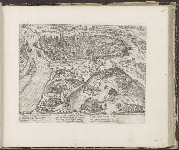
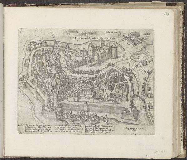
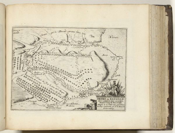
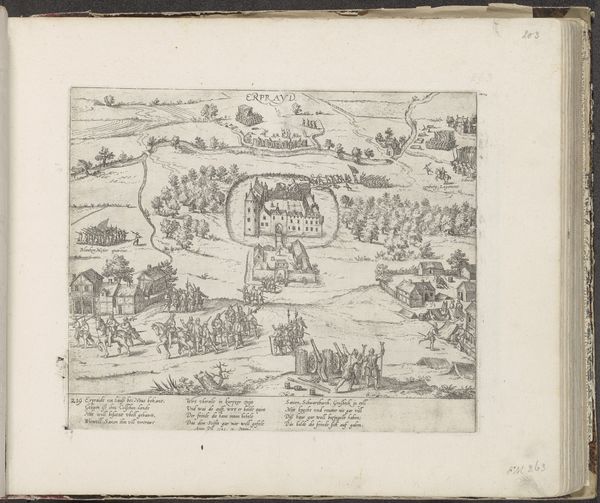
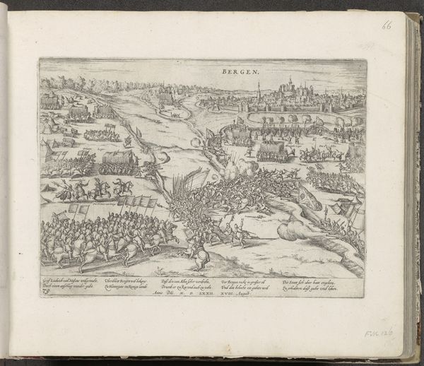
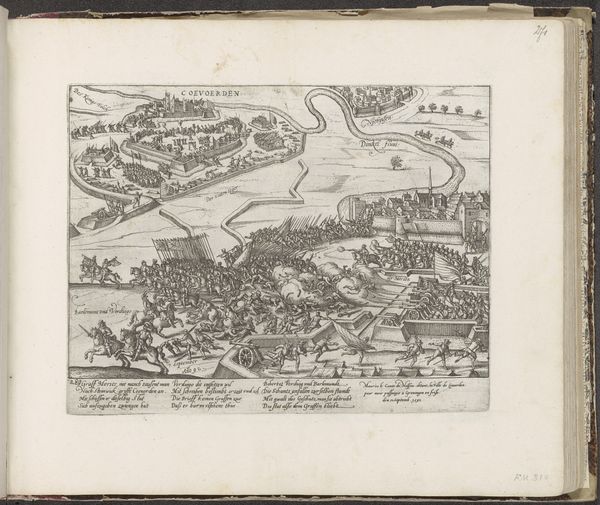
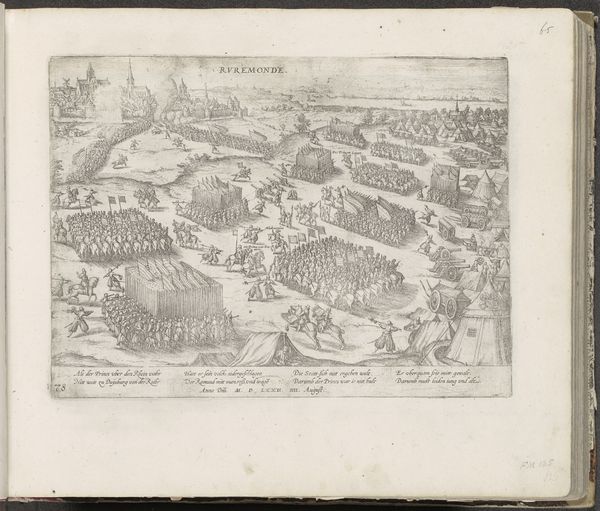
Frans Hogenberg’s etching, “Inname van Grave, 1602,” depicts the siege of Grave by the Dutch Republic during the Eighty Years’ War. Made in the Netherlands, this print reflects the political and military strategies of the time, illustrating how cities were fortified and attacked. Hogenberg's work highlights the role of cartography in military planning and in shaping public opinion about these conflicts. The detailed rendering of the siege demonstrates the importance of geographical knowledge and strategic positioning during warfare. The print served to inform and possibly to bolster the morale of the Dutch populace, portraying a key victory against Spanish forces. Maps like this are important historical records; they allow historians to reconstruct past events and understand the geopolitical strategies that shaped early modern Europe. Analyzing such images, alongside archival documents and military histories, provides a deeper understanding of the social conditions and institutional forces at play.
Comments
No comments
Be the first to comment and join the conversation on the ultimate creative platform.
More like this