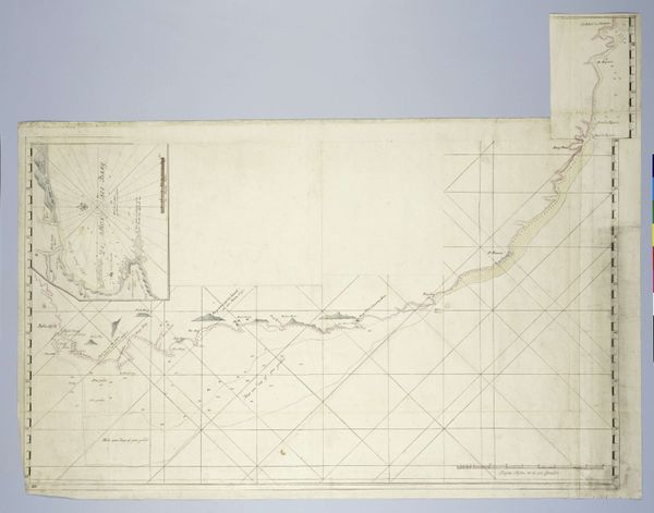
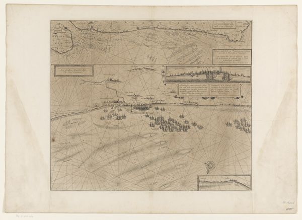
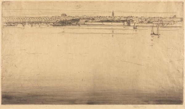
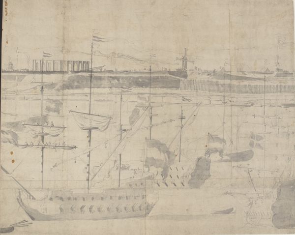
Plate 50 B from Plan of Chicago 1909: Lake Shore from Chicago Avenue on the south to Wilmette on the North. 1909
0:00
0:00
drawing, plein-air, paper, watercolor, ink, architecture
#
drawing
#
plein-air
#
paper
#
watercolor
#
ink
#
cityscape
#
watercolor
#
architecture
Dimensions: 103 × 344.7 cm (40 1/2 × 136 in.)
Copyright: Public Domain
Daniel Burnham made this plan of the Chicago lake shore, in 1909, at a really interesting time. The way he renders it, the ochre and cream tones, it seems both modern and like an antique document. It’s funny how, when you look at the Plan of Chicago, you see the grid, but then the shore itself has this organic, almost wobbly line to it. It’s a plan, sure, but it's also a record of a place. There are these little islands, these funny shapes in the water; they feel like the kind of things you’d sketch if you were actually there, trying to capture the feel of a place. It’s both a projection of the future and an echo of the past, right? Someone like Paul Klee comes to mind, with his own playful engagement with architectural form, but with a softer touch. It reminds you that even when we’re planning, we’re dreaming, and that’s what makes art, and cities, so alive.
Comments
No comments
Be the first to comment and join the conversation on the ultimate creative platform.
More like this