drawing, print, pen, engraving
#
drawing
#
baroque
# print
#
landscape
#
perspective
#
coloured pencil
#
pen
#
cityscape
#
history-painting
#
engraving
Dimensions: height 357 mm, width 452 mm, height 532 mm, width 636 mm
Copyright: Rijks Museum: Open Domain
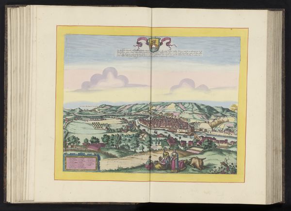
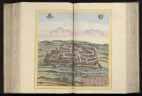
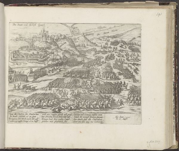
This is an anonymous bird's-eye view of Saintes, a city in southwestern France. The detailed rendering invites us to consider not just the physical layout of the city, but also the social dynamics embedded within its walls. What strikes me most is the way this map reflects power and control. Saintes, encircled by imposing fortifications, literally embodies the concept of a contained, ordered society. Who was included, and who was excluded? How did these walls shape the lives of the people within? The gaze is positioned from above; the perspective of a ruler surveying their domain. This position mirrors the broader social hierarchy where power is concentrated at the top. Consider also that while the map provides an illusion of objectivity, it is always subjective. The choices of what to include, what to emphasize, and how to represent space, carry cultural and political implications. How do such historical documents influence our understanding of identity, belonging, and power?
Comments
No comments
Be the first to comment and join the conversation on the ultimate creative platform.
More like this