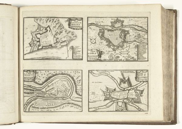
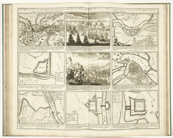
Plattegronden van Dinant, Maastricht, Bouillon en Mézières, ca. 1702 1702 - 1703
0:00
0:00
anonymous
Rijksmuseum
drawing, print, ink, engraving
#
drawing
#
medieval
# print
#
pen sketch
#
ink
#
ink drawing experimentation
#
geometric
#
cityscape
#
engraving
Dimensions: height 270 mm, width 338 mm
Copyright: Rijks Museum: Open Domain
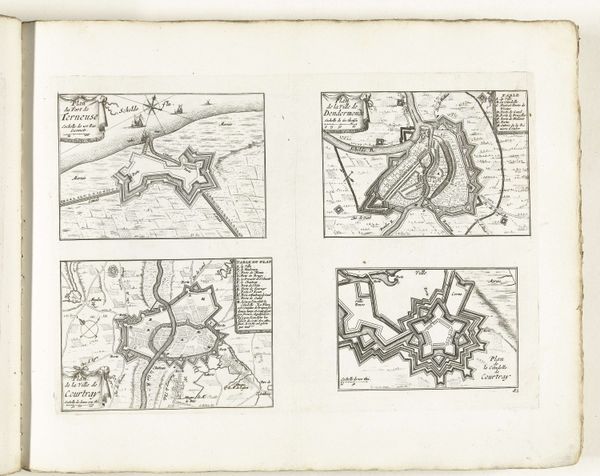
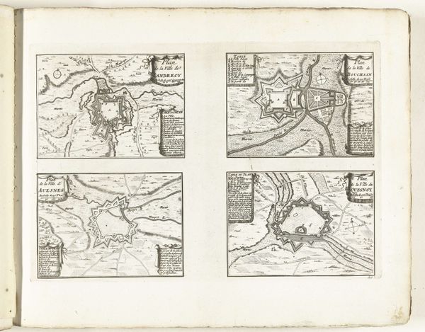
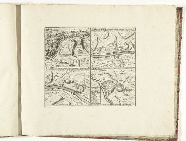
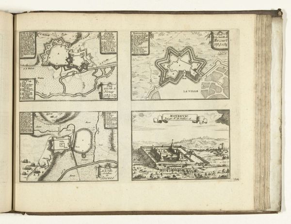
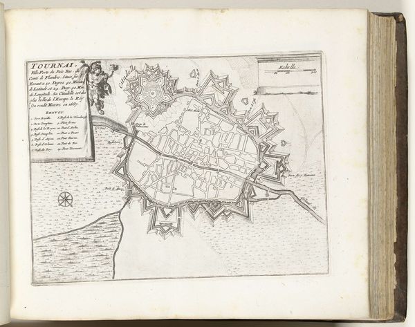
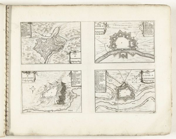
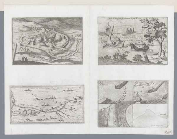
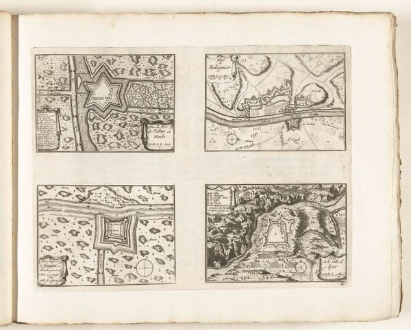
Curator: This intriguing engraving from around 1702 depicts city plans of Dinant, Maastricht, Bouillon, and Mézières. It’s anonymous but likely intended for military or administrative use. Editor: My immediate reaction is how much these resemble complex, geometric labyrinths. The detail is astonishing, almost like intricate lace made of ink. Curator: Indeed. The technique here relies heavily on linear precision. Notice the distinct use of hatching to indicate topographical features and the stark contrast between open space and built environments. This wasn't just art; it was information, crucial for governance and, of course, warfare. Consider the labor involved, not only of the engraver, but of the surveyors who first mapped these locations. Editor: The level of abstraction is compelling. I am intrigued by how form and function unite in this piece. See how rivers become not only a geographical reality but a compositional element that helps the observer scan across the plan? Curator: Absolutely. Rivers shape these places both physically and pictorially. Also consider the material value; paper was expensive, so the choice to render them on a single page probably maximized usability, binding various locations together in a manner reflective of burgeoning European interconnectedness and possibly related conflict. The distribution would have been quite restricted, a privilege only afforded to certain members of society. Editor: I’m drawn to how the different forms invite closer looking. The angularity of the fortifications against the flowing rivers; it is very appealing. Curator: I find myself imagining the lives impacted by these plans. Everyday commerce and movement being charted from above and imposed to a population for whom none of this decision-making was participatory. Editor: Examining this engraving reveals the meticulous effort of early cartography through careful execution and sophisticated deployment of form. Curator: Seeing these towns through a material lens lets us remember that planning and war involved a complicated confluence of work, resource expenditure, and geographic power.
Comments
No comments
Be the first to comment and join the conversation on the ultimate creative platform.
More like this