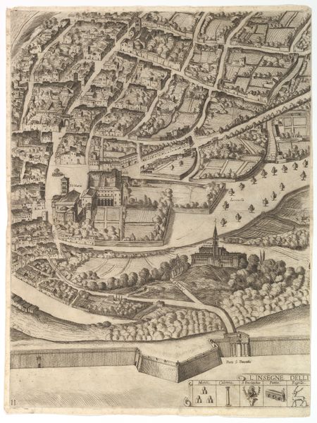
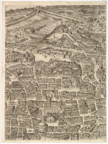
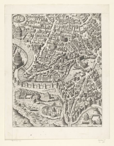
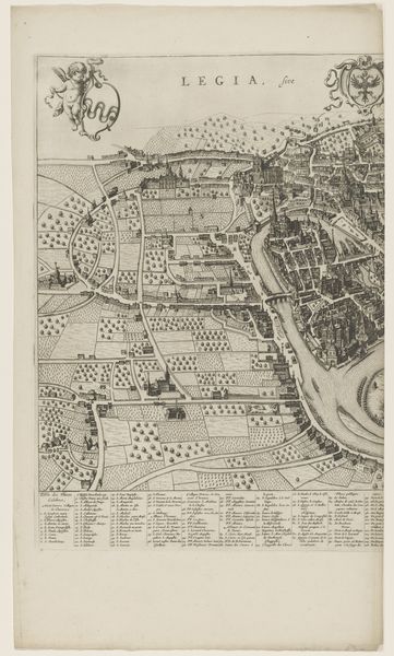
Plan of the City of Rome. Part 5 with the Baths of Caracalla, the Santa Sabina and Part of the Tiber 1645
0:00
0:00
drawing, print, etching, intaglio
#
drawing
#
baroque
# print
#
etching
#
intaglio
#
landscape
#
cityscape
Dimensions: Sheet: 21 7/8 x 16 3/8 in. (55.6 x 41.6 cm) Plate: 21 3/16 x 16 1/16 in. (53.8 x 40.8 cm) [partly within plate margins due to cropping]
Copyright: Public Domain
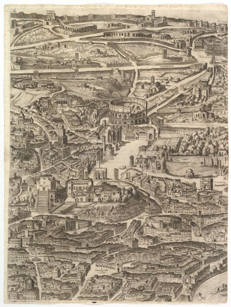
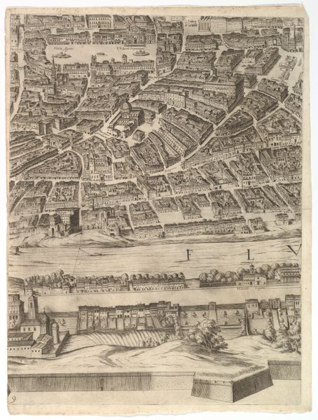
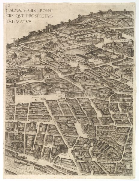
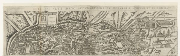
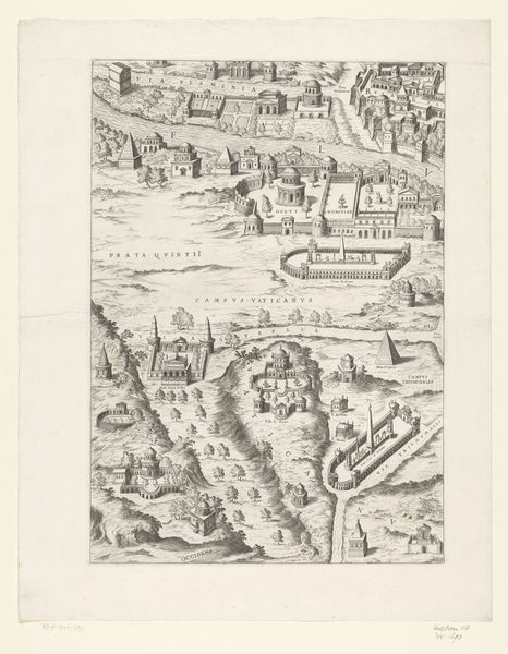
Antonio Tempesta created this print, ‘Plan of the City of Rome,’ sometime around 1600 using etching and engraving techniques. It shows us a bird's-eye view of Rome, including the Baths of Caracalla, Santa Sabina, and part of the Tiber River. Making a detailed map like this in 17th-century Italy wasn't just about showing what was there. It was about power, knowledge, and the social order. Consider the role of the Catholic Church in Rome at this time. It acted as a kind of patron of the arts and sciences, encouraging artists like Tempesta to document the city. Yet, these images could also serve the political goals of powerful families. The level of detail suggests the needs of urban planners and developers as well. To understand Tempesta's Rome, we can look at other maps, historical records, and even the architecture that still stands today. The image is a product of its time, shaped by the people, institutions, and forces that made Rome what it was. The historian's job is to put all these pieces together, to understand what the art tells us about the world in which it was made.
Comments
No comments
Be the first to comment and join the conversation on the ultimate creative platform.
More like this