drawing, print, engraving
#
drawing
#
dutch-golden-age
# print
#
pen sketch
#
old engraving style
#
cityscape
#
engraving
Dimensions: height 203 mm, width 359 mm
Copyright: Rijks Museum: Open Domain
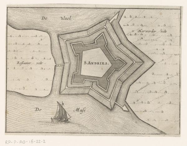
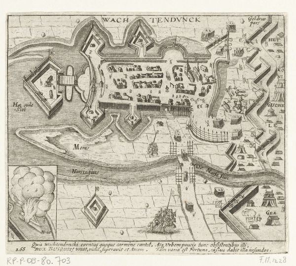
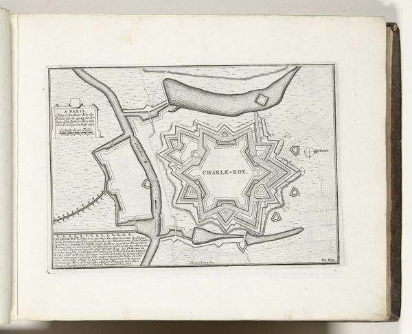
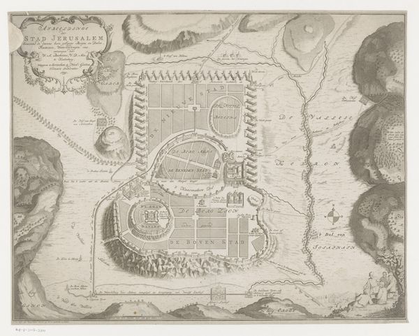
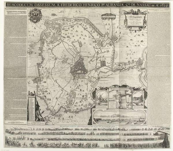
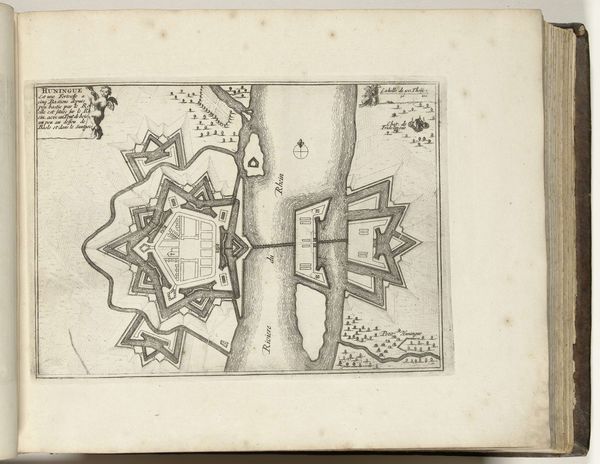
This anonymous etching from 1673 presents two circular maps of Huis Lieroort and Langackerschans. The composition is divided into distinct yet connected spheres, showcasing a formal approach to cartography. Linear precision defines each structure, waterway, and fortification, emphasizing the strategic layout of these sites. The arrangement of lines creates a semiotic system; the varying thicknesses denote walls, water, or terrain. This allows the viewer to decode the military and geographical significance of each location. The rigid geometric shapes of the fortresses contrast with the fluid lines representing the surrounding waters, revealing a tension between natural landscape and imposed order. This visual dichotomy underscores a broader philosophical debate about humanity's interaction with its environment. Through its meticulously structured design, this etching functions as both a record and an interpretation of spatial control during a period of conflict.
Comments
No comments
Be the first to comment and join the conversation on the ultimate creative platform.
More like this