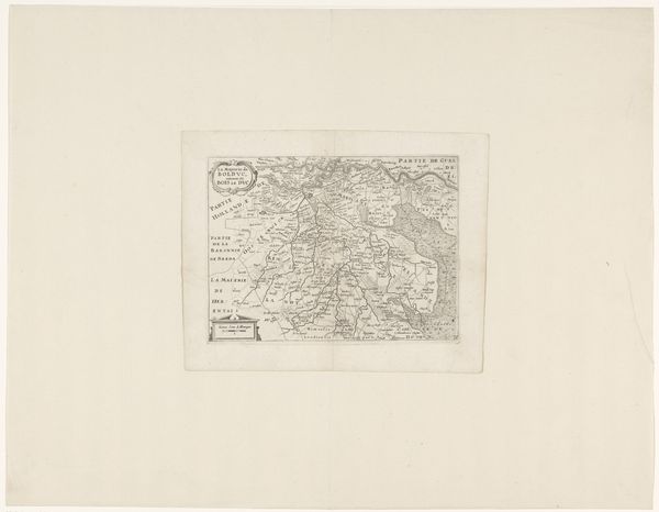
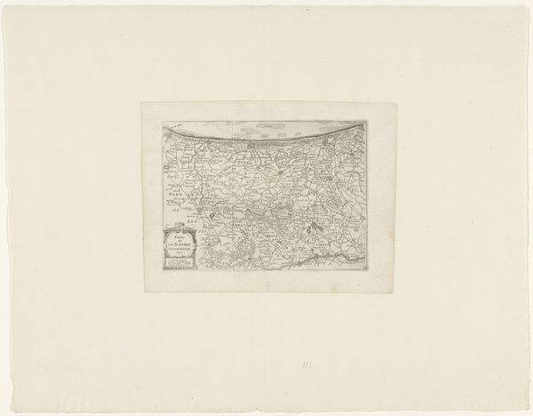
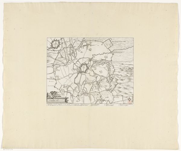
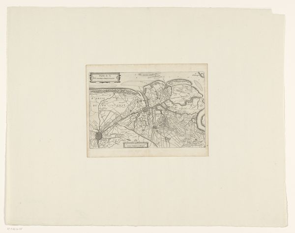
print, etching
#
dutch-golden-age
# print
#
etching
#
landscape
#
etching
Dimensions: height 154 mm, width 230 mm
Copyright: Rijks Museum: Open Domain
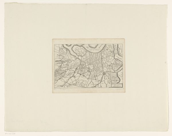
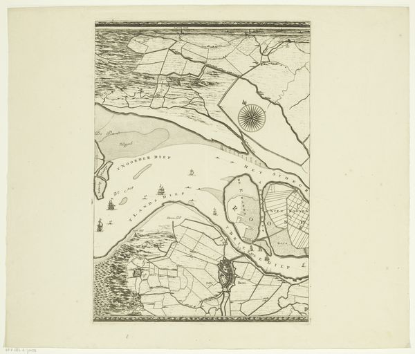
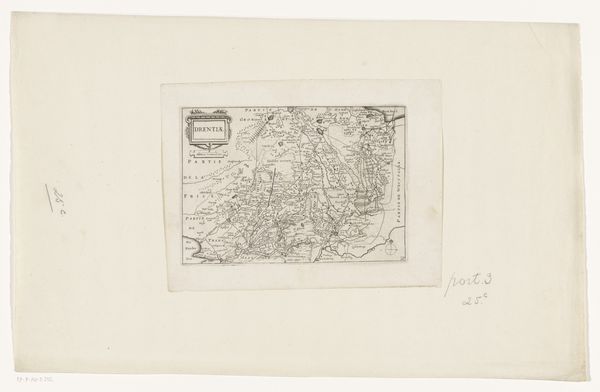
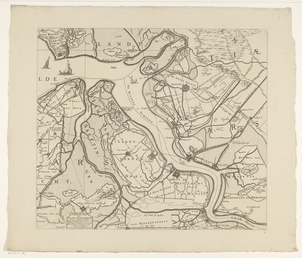
This is an anonymous map of the dominion of Mechelen. Cartography is more than just a technical exercise; it's a practice deeply intertwined with power, identity, and cultural narratives. This map is a visual articulation of spatial control and political authority. For the people of Mechelen, this map would have represented their home, their community, and their identity, shaped by centuries of history. Consider for a moment, what isn't represented here. Whose stories are left out? Which voices are silenced in this depiction of land and ownership? What alternative narratives might challenge this seemingly objective representation? This map embodies a specific viewpoint, reflective of the dominant culture and those in positions of authority. It invites us to question the power dynamics inherent in representation itself.
Comments
No comments
Be the first to comment and join the conversation on the ultimate creative platform.
More like this