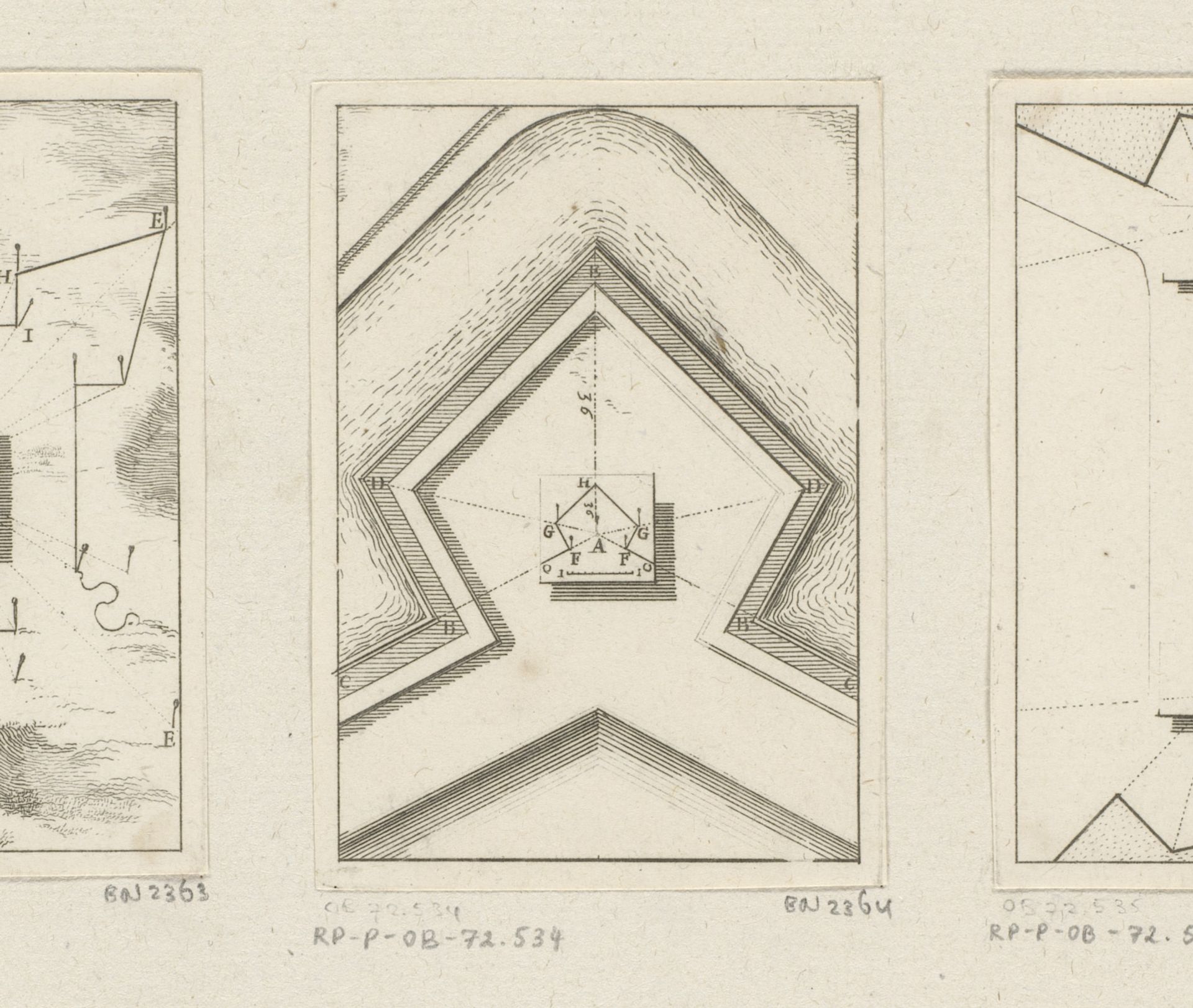
1669
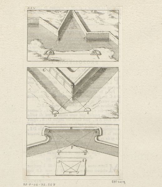
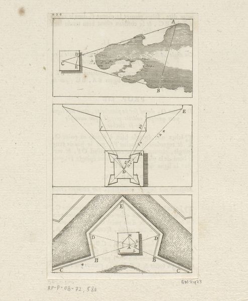
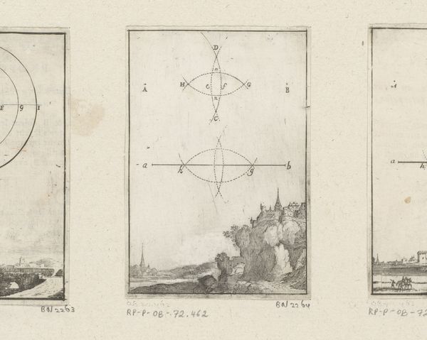
Uitvergroten van een plattegrond
Sébastien Leclerc I
1637 - 1714Location
RijksmuseumListen to curator's interpretation
Curatorial notes
Sébastien Leclerc I created this print, "Uitvergroten van een plattegrond", which translates to "Enlarging a map", in the 17th to early 18th century using etching. Leclerc was a draughtsman, printmaker and military engineer who served under Louis XIV. During this time, cartography wasn't merely about geography; it was deeply entwined with military strategy and political power. Maps were tools of empire, defining territories and planning fortifications in times of near constant war. Leclerc's detailed engravings reflect his understanding of engineering principles and the strategic importance of visualizing terrain. His ability to render precise, scaled representations of fortifications allowed military leaders to plan defenses and offensives effectively. The emotional experience of viewing this print today is different to its original intent; what was once functional is now artistic. As we examine Leclerc's meticulous lines and geometric precision, we can consider how maps create order, define boundaries, and ultimately, shape our understanding of space and power.