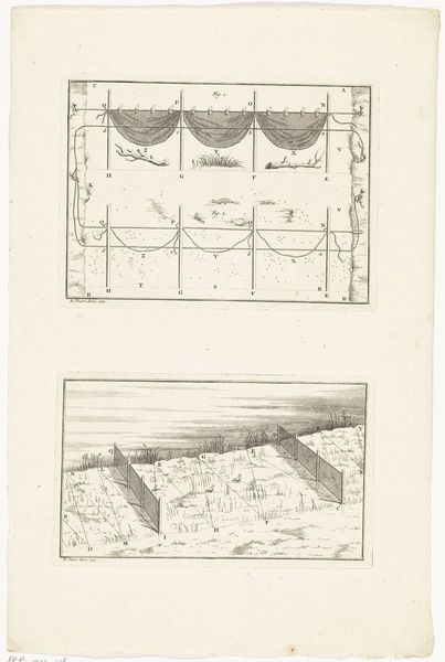
print, etching, engraving
#
baroque
# print
#
etching
#
landscape
#
etching
#
geometric
#
history-painting
#
engraving
#
realism
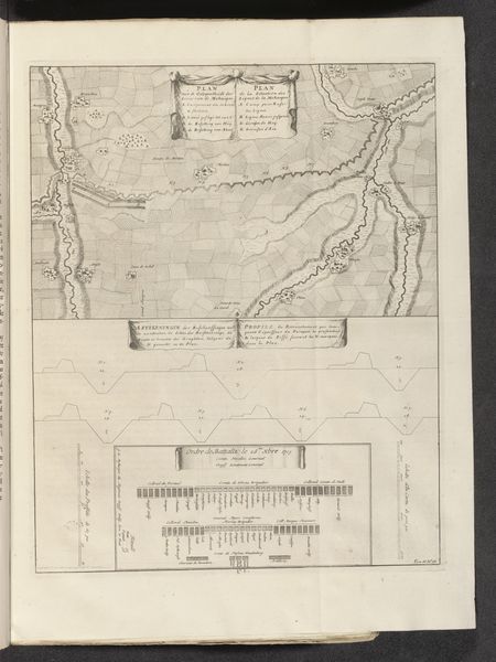
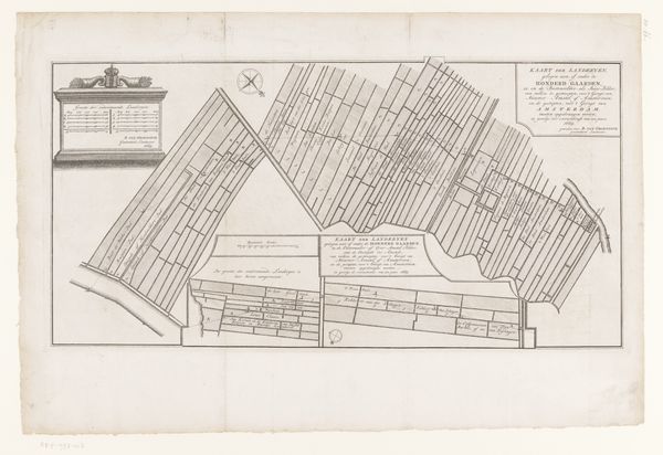
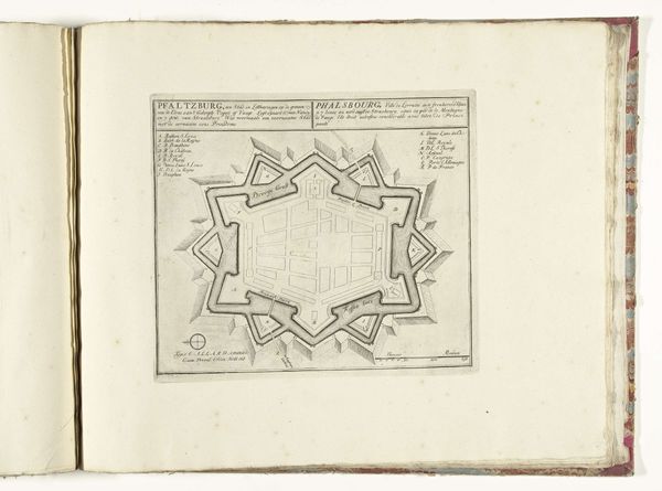
Dimensions: height 468 mm, width 381 mm
Copyright: Rijks Museum: Open Domain
This is an anonymous map of the French lines in Brabant, made in 1703, now held at the Rijksmuseum. The map gives us insight into the military strategies and territorial disputes of the early 18th century, reflecting the constant power struggles between European nations. The visual codes, with their careful rendering of geographical features and military emplacements, create a sense of authority and control. Made during the War of the Spanish Succession, this map highlights the strategic importance of the region in the conflict. The act of mapping itself was deeply embedded in the politics of the era, as states sought to assert their dominance through cartographic representation. Maps were not neutral documents, but tools for shaping perceptions and legitimizing claims. To understand this map better, we would need to delve into military archives, diplomatic correspondence, and the personal accounts of soldiers and commanders. By considering the historical context, we recognize that art is deeply interwoven with the social and institutional forces that shape its creation and interpretation.
Comments
No comments
Be the first to comment and join the conversation on the ultimate creative platform.
More like this