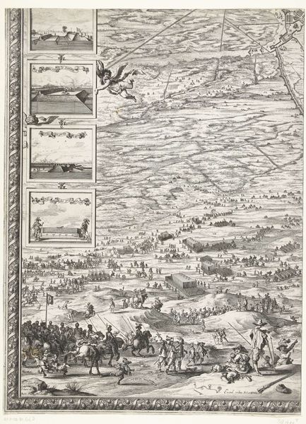
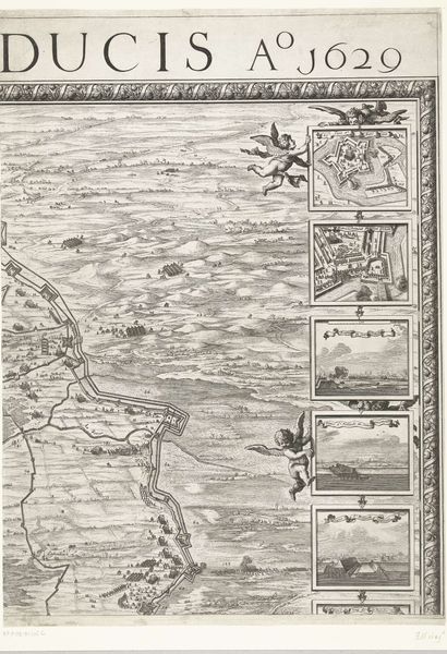
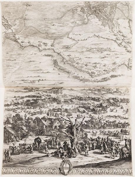
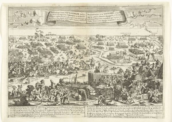
Grote kaart van het beleg van Den Bosch door Frederik Hendrik (blad rechtsonder), 1629 1629
0:00
0:00
salomonsavery
Rijksmuseum
print, engraving
#
baroque
# print
#
landscape
#
cityscape
#
engraving
Dimensions: height 630 mm, width 468 mm
Copyright: Rijks Museum: Open Domain
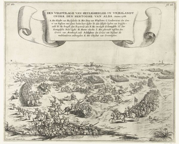
In 1629, Salomon Savery created this print, one section of a larger map, that depicts Frederik Hendrik’s siege of Den Bosch. The image creates meaning through visual codes of the time, namely maps and military portraiture. Its cultural references are to contemporary strategies of territorial control, and its historical associations are to the Eighty Years’ War between the Dutch Republic and Spain. Given the cultural importance of military leaders in the Dutch Republic, Hendrik's successful siege of Den Bosch was a powerful political event, and the map, commissioned by Hendrik himself, played an important role in shaping his public image as a powerful military leader. Historians might consult military archives and contemporary news publications, and consider the role of cartography in the projection of power. Such lines of inquiry show how the meaning of an artwork is always contingent on its social and institutional context.
Comments
No comments
Be the first to comment and join the conversation on the ultimate creative platform.
More like this