graphic-art, print, engraving
#
graphic-art
#
neoclacissism
# print
#
old engraving style
#
engraving
Dimensions: height 305 mm, width 311 mm
Copyright: Rijks Museum: Open Domain
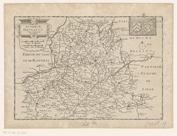
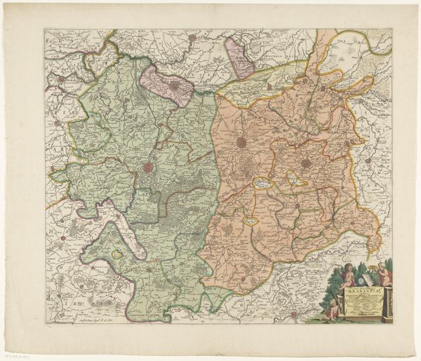
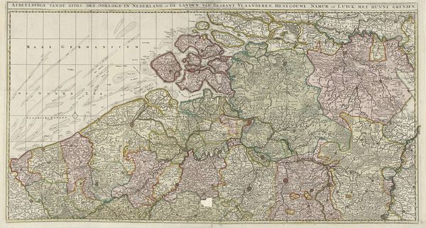
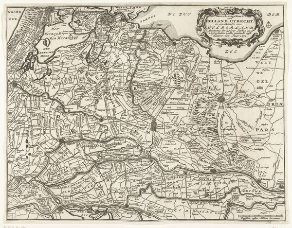
Curator: Here we have "Kaart van Frankrijk," a map of France created in 1792 by Jan van Jagen. It’s an engraving, a type of print, demonstrating the country divided into 83 departments. Editor: It's so intricate, a web of lines forming regions, with that creamy paper tone whispering of age. The whole thing breathes an air of meticulous control, even power. Curator: Absolutely. The materiality speaks volumes about the time and labour involved. Think about the engraver's painstaking work, each line incised into the printing plate, multiplied by each impression. This wasn’t mass-produced; each print represented skilled handiwork and artisanal production. Moreover, maps held tremendous power; it visually defined land ownership and the exercise of governance. Editor: The map is obviously political, marking territories and jurisdictions. But beyond that, those borders are charged with cultural meaning. Each name evokes regional identities, dialects, foods, histories, and age-old customs. The symbolic weight embedded in this network of places... It almost vibrates. Curator: Exactly! And considering it was made in 1792, the era of revolution, it suggests an attempt to establish a new, rationally ordered France, reflected by the standardization and the imposition of 83 departments according to decisions of the Assemblée Nationale, instead of feudal divisions. How ironic that "rationality" involved quite disruptive societal changes. The means of its production facilitated dissemination of a particular political and social ideal. Editor: It's fascinating how something as seemingly objective as a map carries so much subjective, ideological baggage. You almost forget you're looking at ink on paper, when these little graphic signs work on you. Curator: That’s why exploring both the making of something and what it represents offers rich insight. It provides a deeper awareness of not only an artwork, but also historical times. Editor: Looking at "Kaart van Frankrijk," I now perceive much more than a geographical representation. The map provides an access to grasp both France's visual form and its social and ideological landscape back then.
Comments
No comments
Be the first to comment and join the conversation on the ultimate creative platform.
