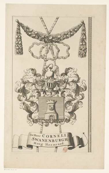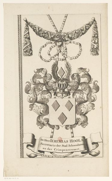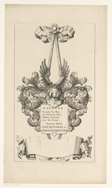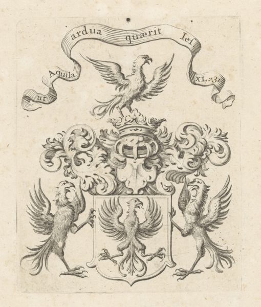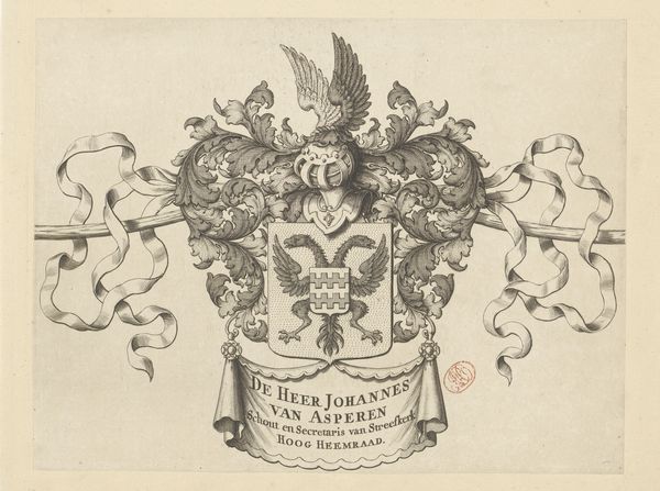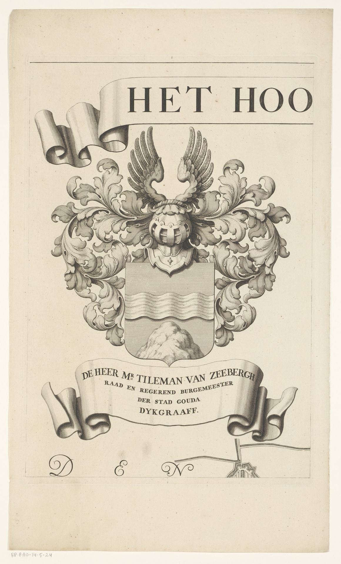
1683 - 1741
Kaart van het Hoogheemraadschap van de Krimpenerwaard (deel wapenrand)
Listen to curator's interpretation
Curatorial notes
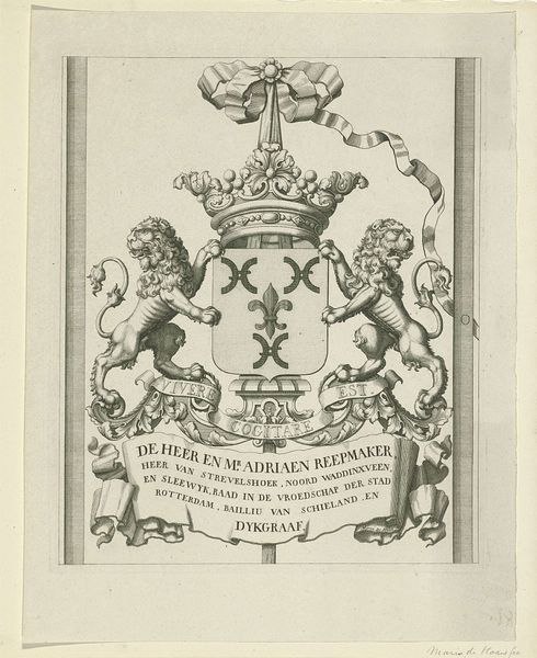
This is a section of a map from the Krimpenerwaard, created in the 18th century by David Coster. The print offers insight into the highly structured, male-dominated governance of the Dutch Republic. The elaborate coat of arms at the center is more than decorative; it's a symbol of power and lineage, reflecting the social hierarchy of the time. The inscription below the crest identifies Tileman van Zeebergh, a prominent figure in Gouda, underscoring the close relationship between civic leadership and land management. In a society rigidly divided by class, such symbols were crucial in asserting authority. Consider how waterways and land were managed primarily by men of a certain class, which then dictated access and prosperity. The emotional weight of this piece resides in recognizing whose stories were prioritized and whose were marginalized in shaping the Dutch landscape and economy.