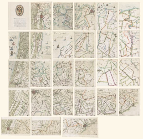
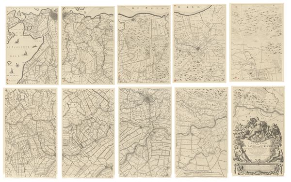
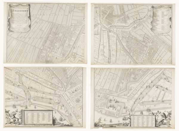
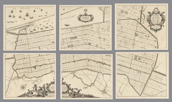
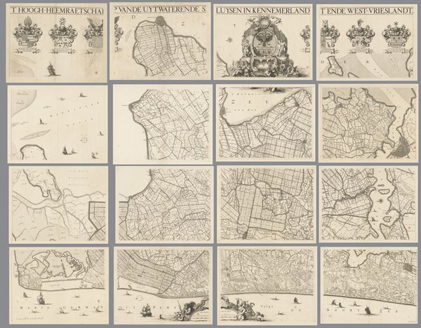
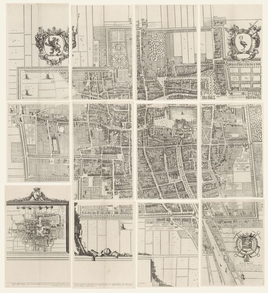
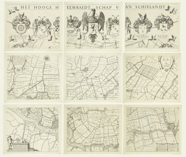
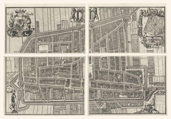
Kaart van het Hoogheemraadschap van Schieland, bestaande uit vijftien delen 1611 - 1635
florisbalthasarszvanberckenrode
Rijksmuseum
drawing, print, paper, ink
drawing
medieval
dutch-golden-age
landscape
paper
ink
geometric
cityscape
Dimensions: height 900 mm, width 1485 mm
Copyright: Rijks Museum: Open Domain
This is a map of the Hoogheemraadschap of Schieland, made around the turn of the 17th century by Floris Balthasarsz van Berckenrode. The artwork consists of fifteen separate parts. The map offers us a bird's eye view of the cultural and political landscape of the Dutch Republic. In the 17th century, the Netherlands was at the cutting edge of cartography. Institutions like the Hoogheemraadschap—the local water board—regulated and controlled the waterways, crucial for trade and defense. The detailed rendering of the landscape reflects the growing importance of empirical observation. This map embodies the spirit of a new, self-consciously modern nation, confident in its ability to manage and represent its territory. To fully appreciate this artwork, we might consult historical archives, records of the Hoogheemraadschap, and other contemporary maps, gaining a more profound insight into the social and institutional context that shaped its creation.
Comments
No comments
Be the first to comment and join the conversation on the ultimate creative platform.